*DO NOT USE THESE MAPS AS YOUR “OFFICIAL” TRAVEL MAP USE AVENZA MAP.

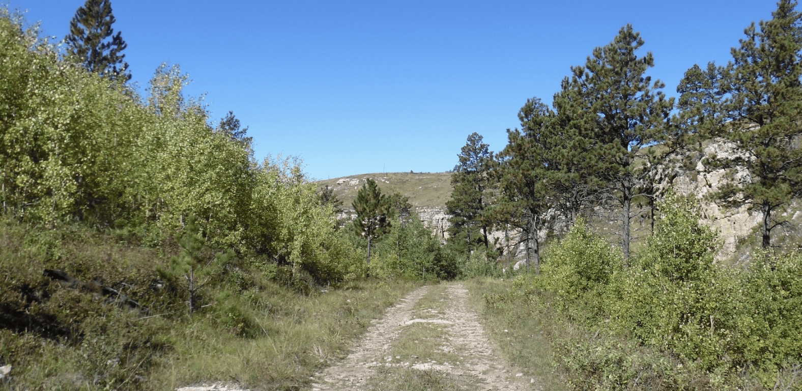
Most out of state riders travel to the Nemo area to atv. This area has extensive atv/utv trails. The South Boxelder Trailhead is the center of our ATV mecca and includes the South Boxelder 62″ trail system. They are well-used and some are technical. If your goals is to be challenged this may be your area to ride.
RALLY with us at the STURGIS OFFROAD RALLY.
However if you are looking for something more easy to ride, you can find those type of trails in this area also.
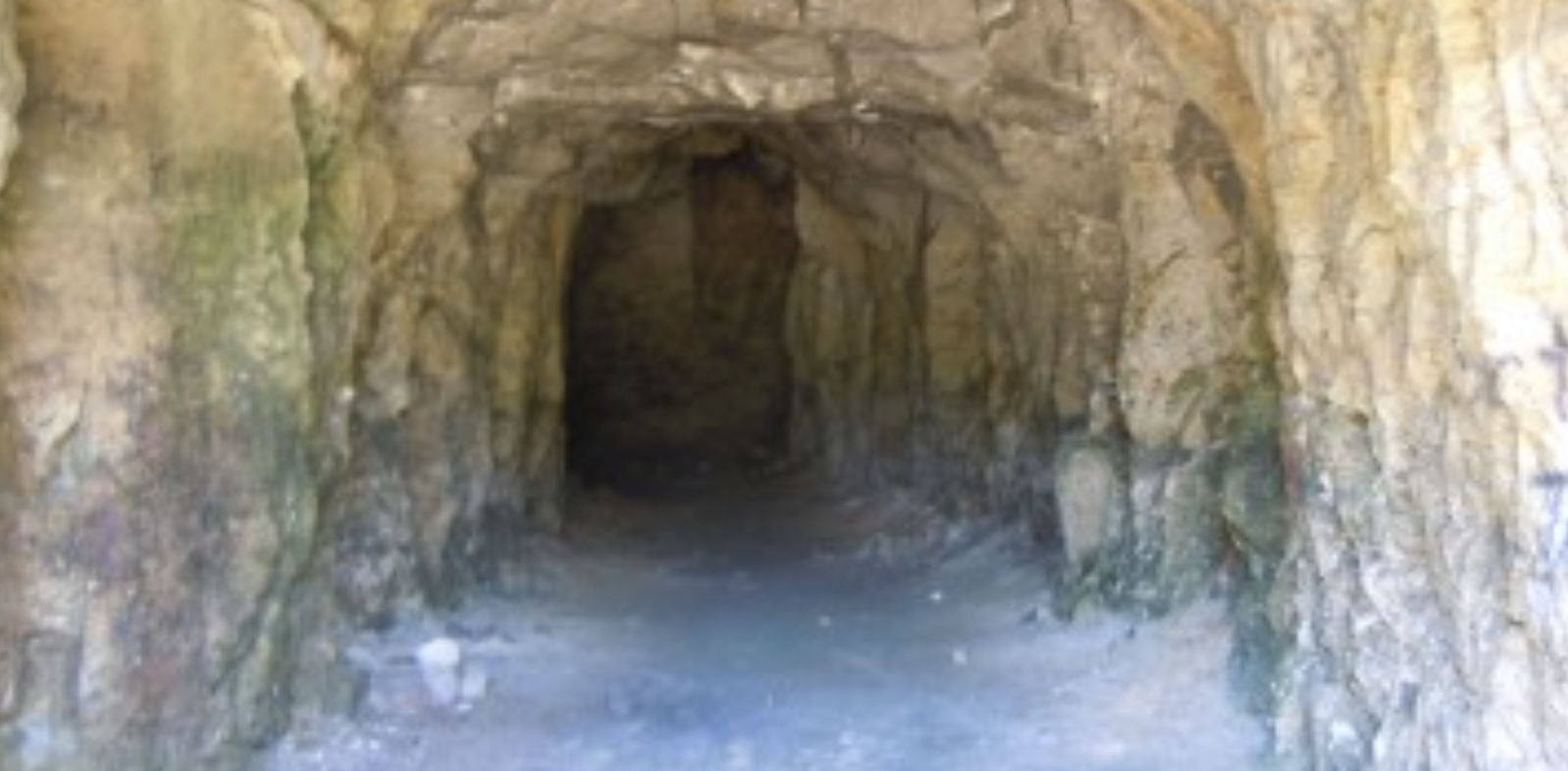
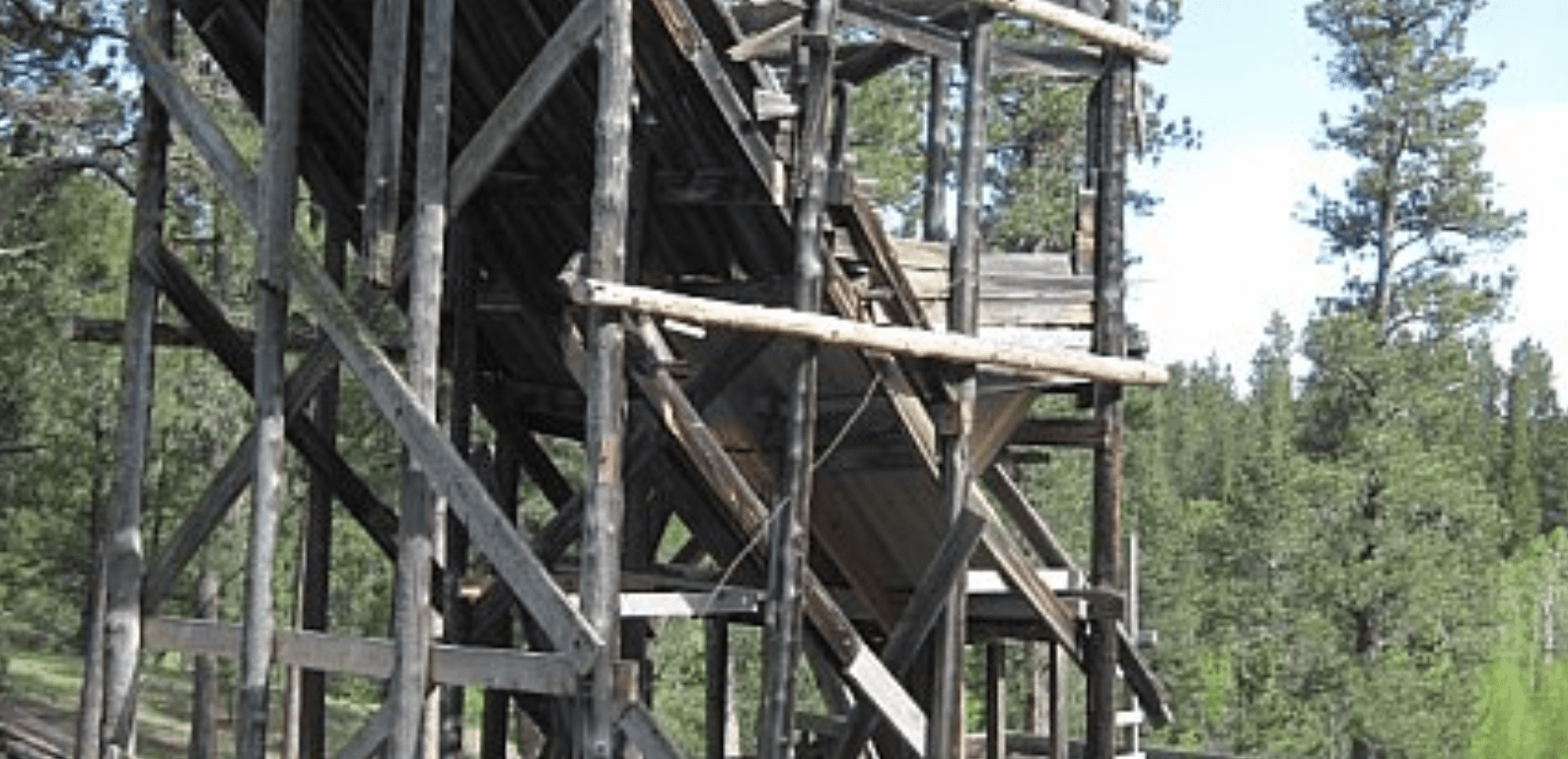
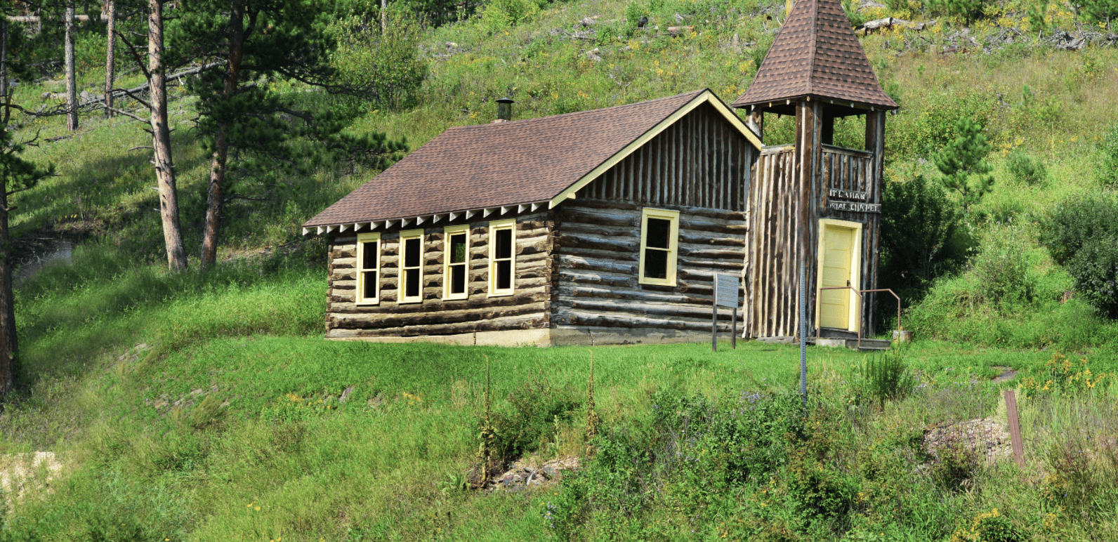
Reausaw Ghost Town is a site location, but no real evidence of a town. The Nemo Ghost Town is still active.
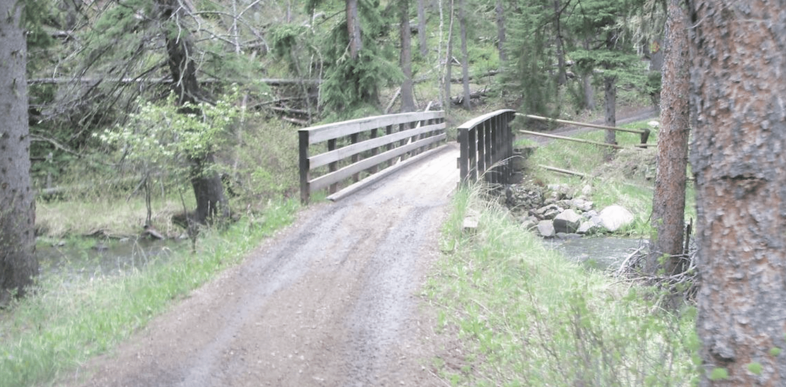
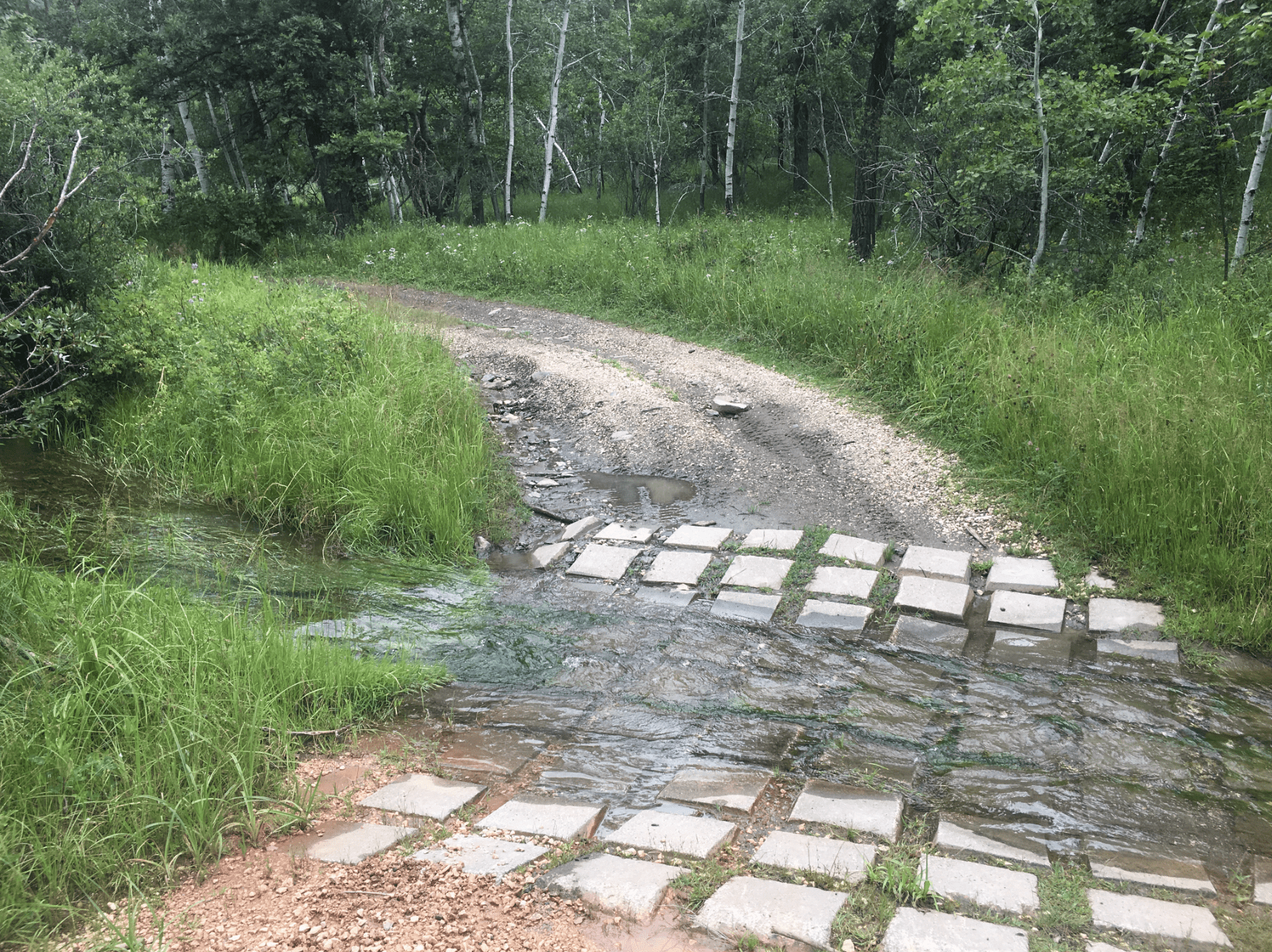
The Boxelder Creek Bridge Water Crossing is a favorite destination for those machines 62″ and less.
*If you want to ride an extreme trail with nerve bending decent, try Trail 8089 between the Trail 8252 intersection and the Trail 8251 intersection. If you are with your family or an inexperienced rider use Trail 8080-B as an alternative.
The South Boxelder Ride area has width restrictive trails.
*Website is for information purposes only – ride or drive at your own risk.
*Website is for information purposes only – ride or drive at your own risk.
Places to Visit:
Favorite Rides Out of Boxelder Forks Trailhead:


Favorite Drives Out of Boxelder Forks Trailhead:


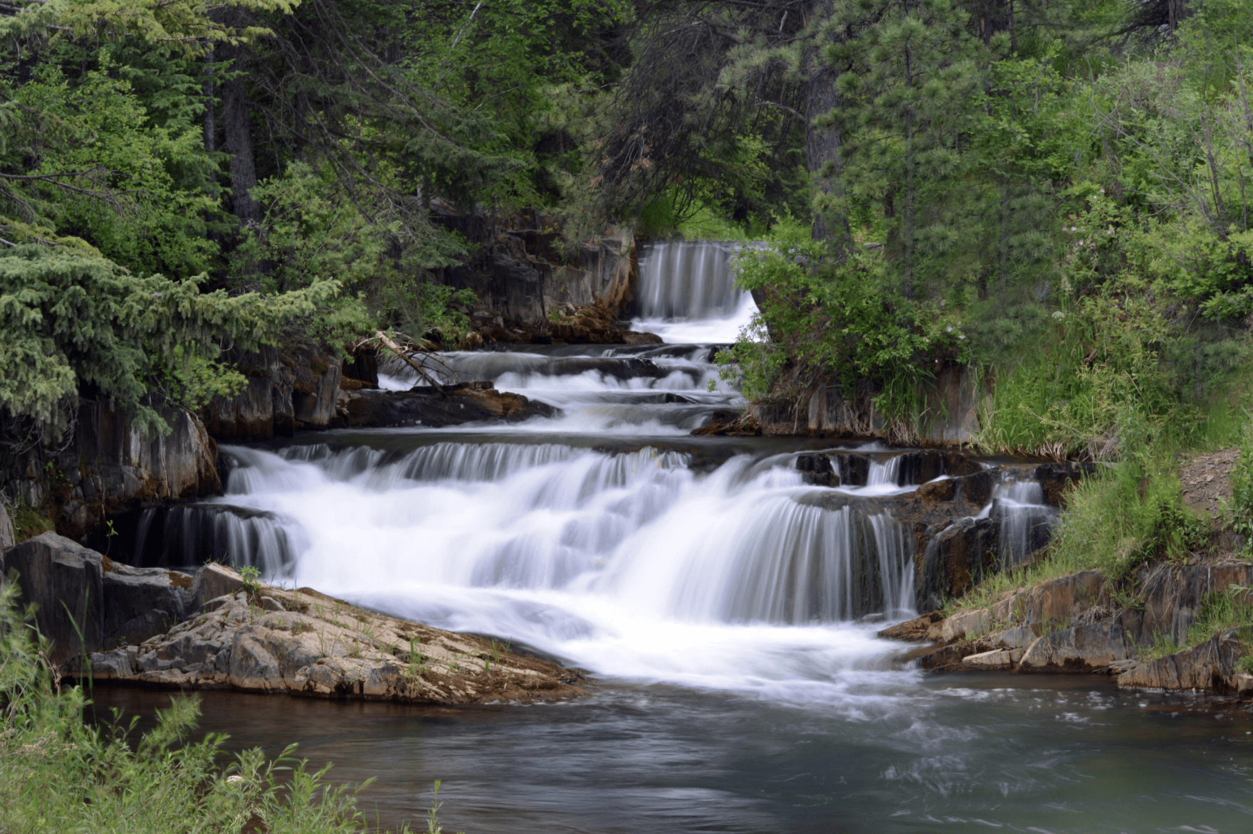
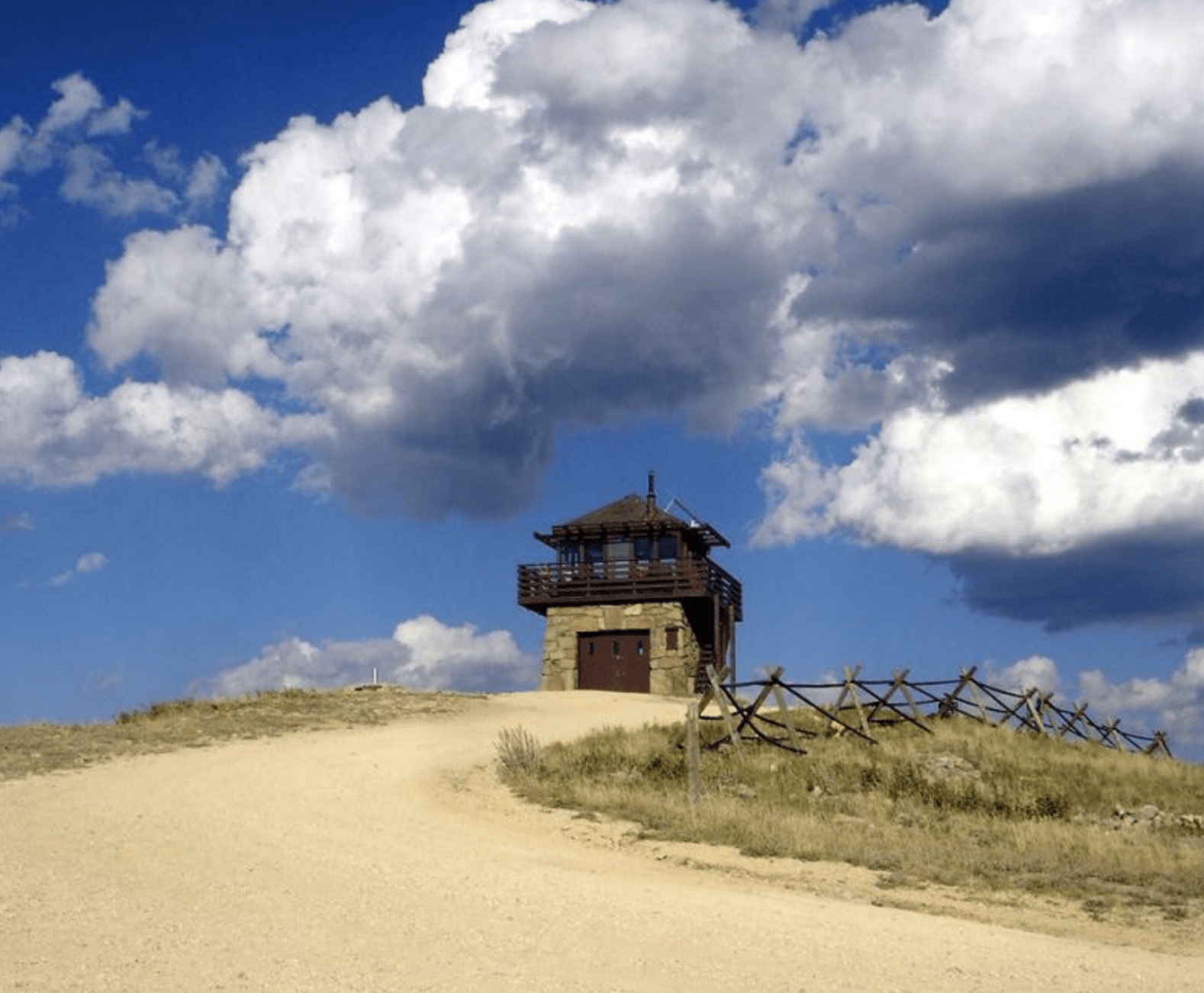
Other Places to Visit:

Trailhead Map: 44.1925,-103.5171


Degrees Minutes Seconds:
Latitude: N 44 11 32
Longitude: W -103 31 01
Decimal Degrees:
Latitude: N 44.19248
Longitude: W – 103.51707
GPS:
Latitude: N 44 11.549
Longitude: W -103 31.024
UTM:
13N 618508 4894321