*DO NOT USE THESE MAPS AS YOUR “OFFICIAL” TRAVEL MAP USE AVENZA MAP.

Click on the picture to Zoom
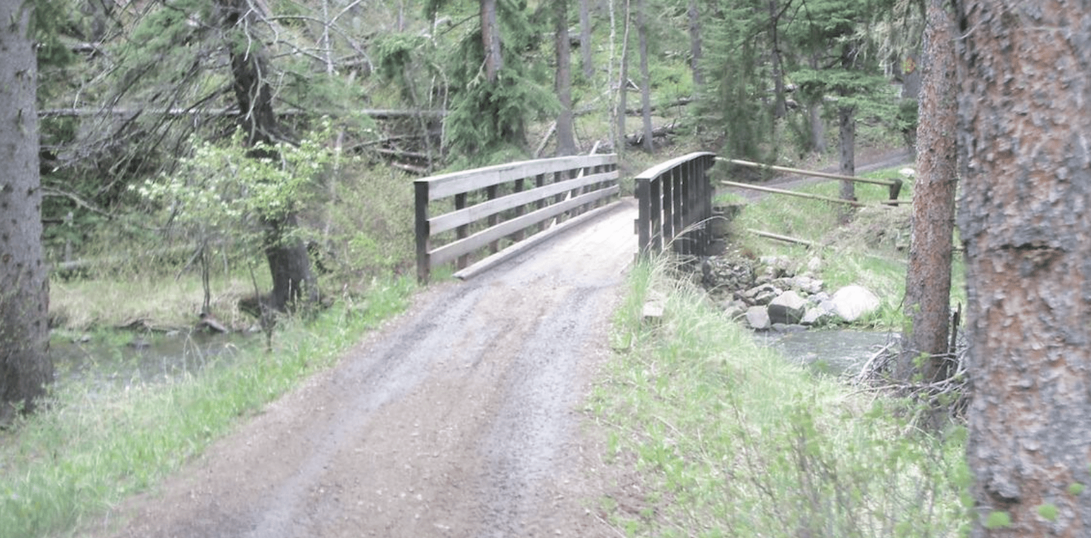
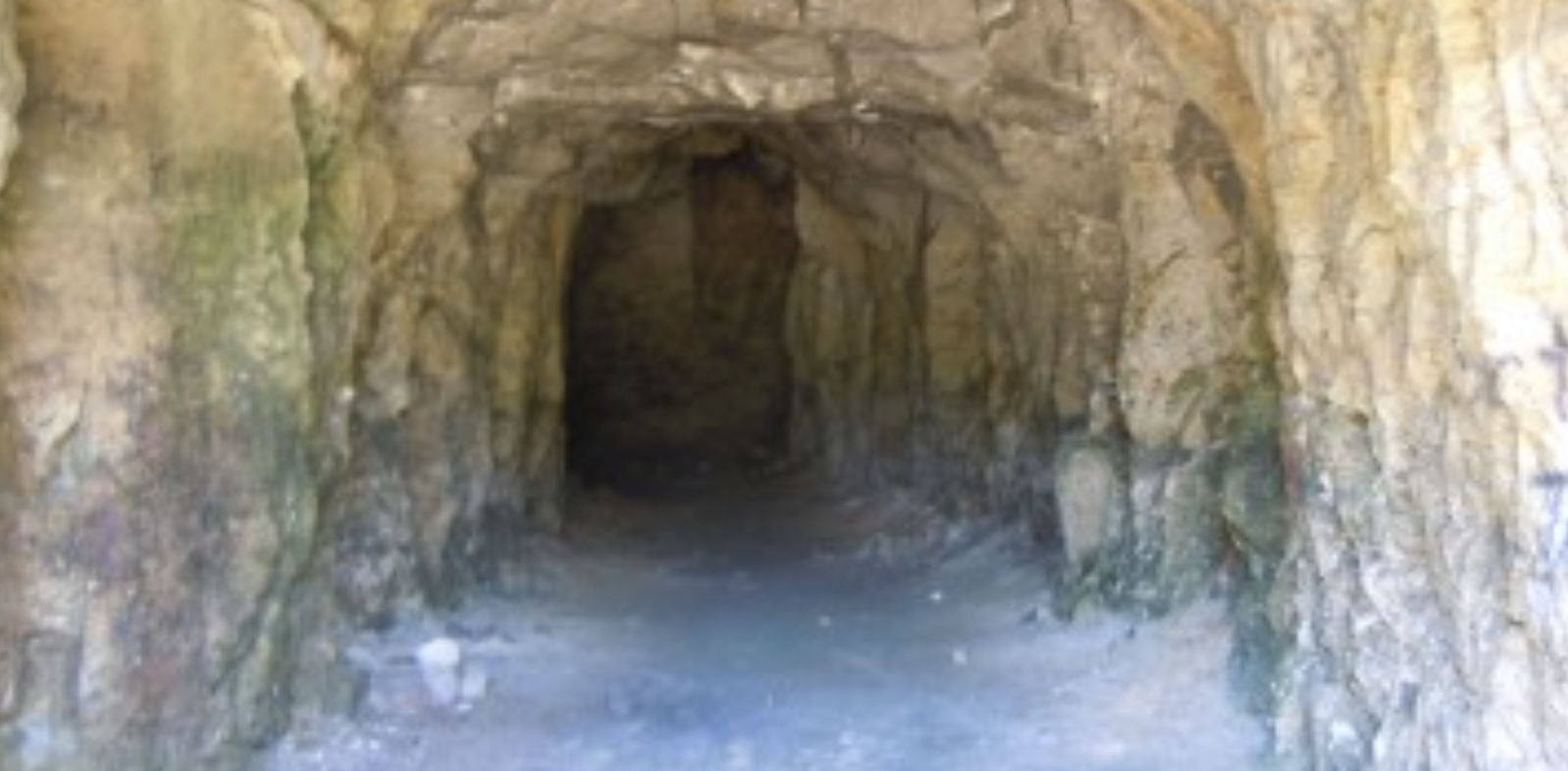
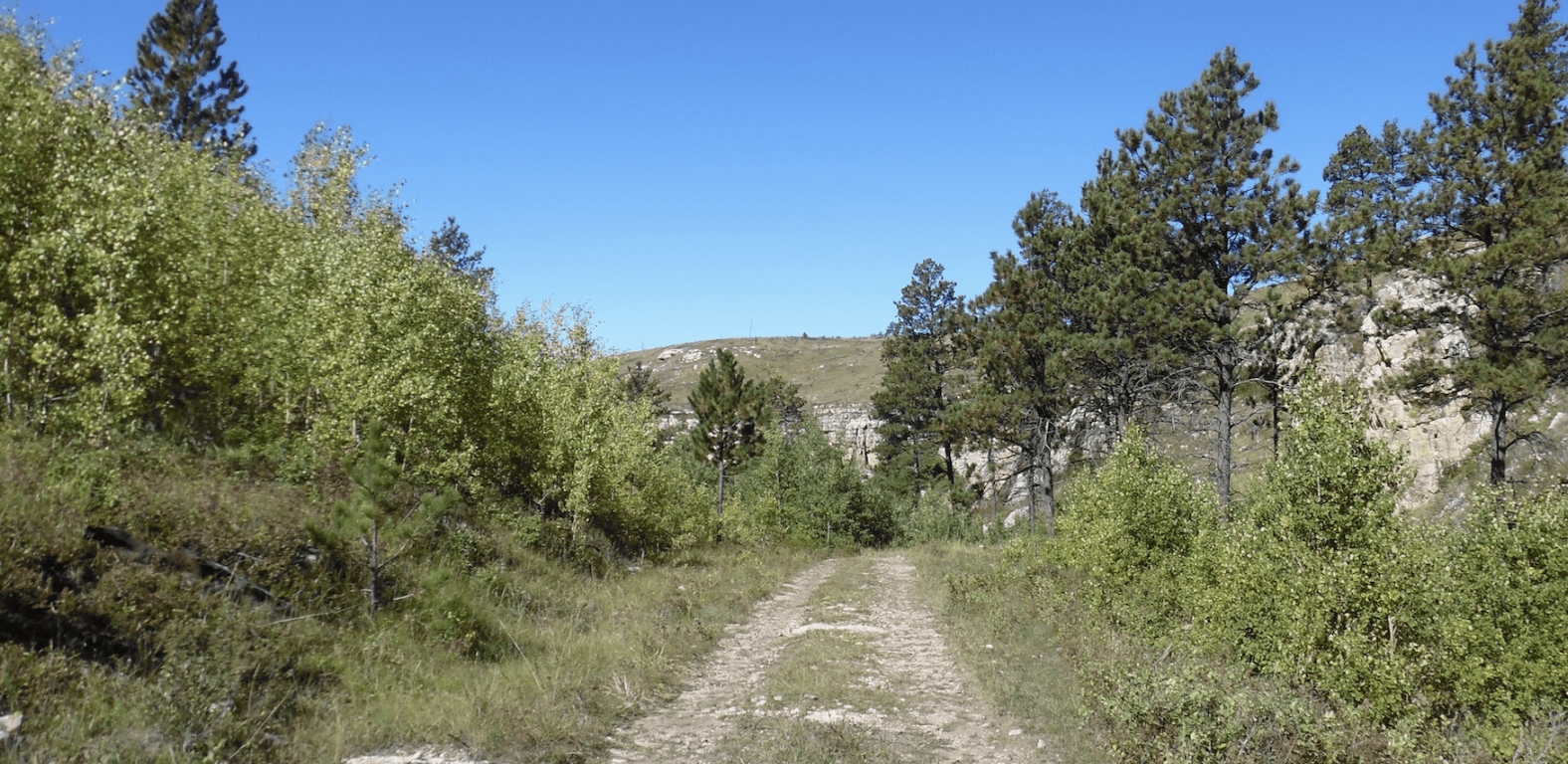
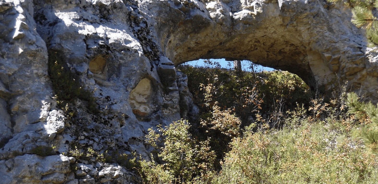
Besides the ATV trails to the West, the Bluebird Trailhead gives you great access to all the Forest Service roads East, between there and Pringle. I suggest entering at FS 309 and taking a right at FS 3141H. This trail takes you through a beautiful limestone canyon. From the canyon head East and South. Keep an eye out for Ward Reservoir, McClure Dam, and Ventling Dam, but do not expect much water.
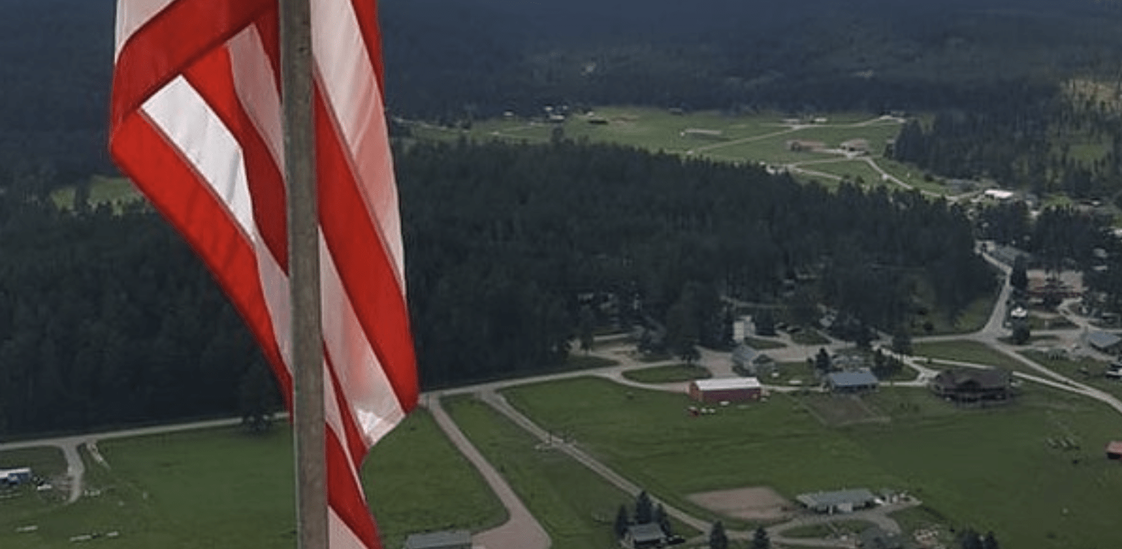
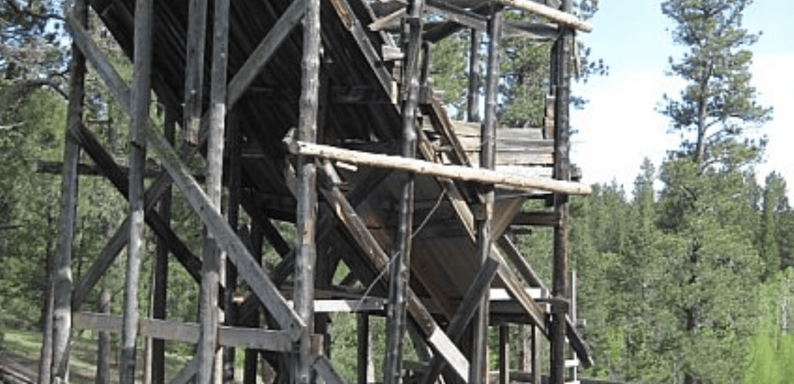
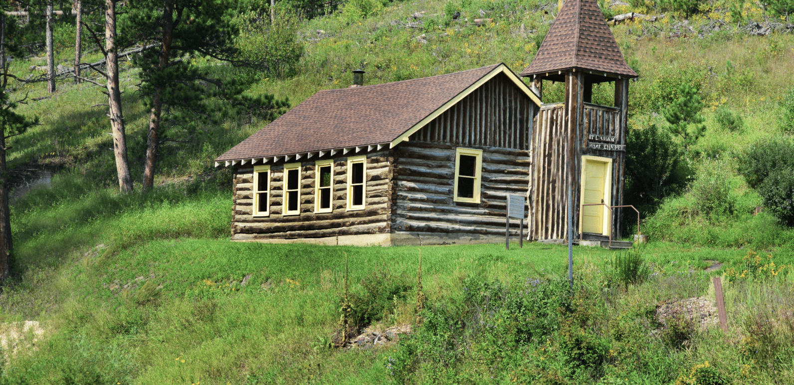
Ghost towns in the area include Argyle and the still active Pringle. Look for old buildings at Pringle mixed with more modern structures. Watch for 12-mile Ranch an old stagecoach stop and still active ranch.
To explore the Black Hills National Forest or ride the Mickelson Trail, Deadwood Outdoor Rentals is your perfect destination.
The roads and trails are grass covered and little used except by locals and hunters to the area. This is a good area to “stay on the trails” because the lack of rain makes the area vulnerable to damage.
*Website is for information purposes only – ride or drive at your own risk.
Places to Visit:
Favorite Rides Out of Bluebird Trailhead:


Favorite Drives Out of Bluebird Trailhead:


Other Places to Visit:
Trailhead Map:


Degrees Minutes Seconds:
Latitude: N 43 36 43
Longitude: W -103 43 52
Decimal Degrees:
Latitude: N 43.61195
Longitude: W -103.73129
GPS:
Latitude: N 43 36.717
Longitude: W -103 43.877
UTM:
13N 602379 4829556
