
*DO NOT USE THESE MAPS AS YOUR “OFFICIAL” TRAVEL MAP USE AVENZA MAP.
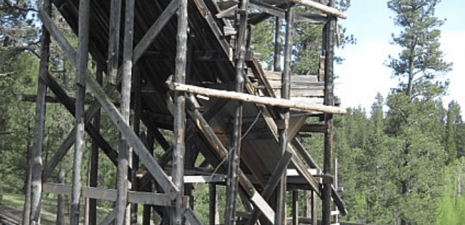
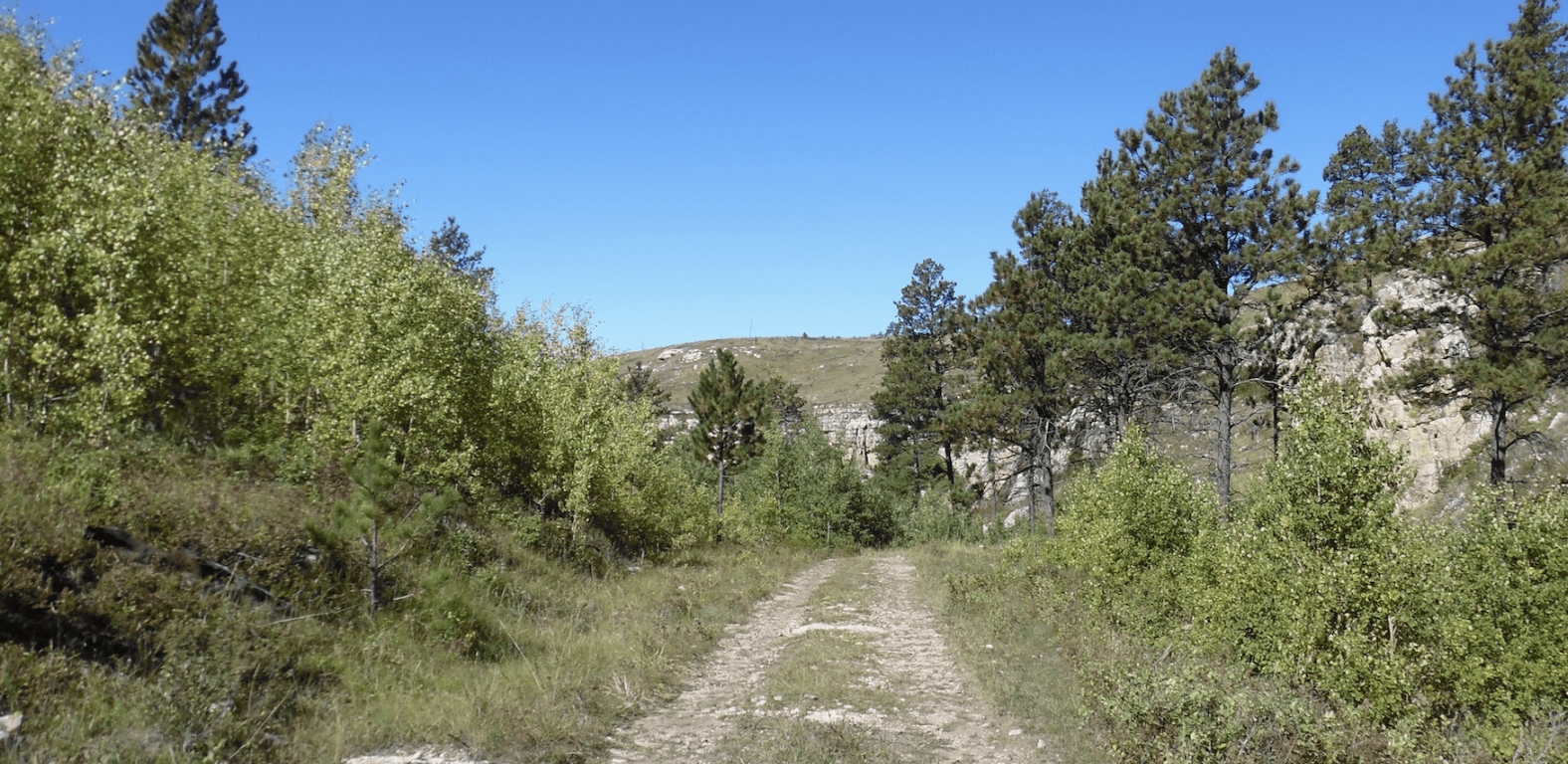
The Hawkright trail area has some relatively new trails. The trails weave in and out of what you might envision blackhills ranch land looks like. There are some great scenery stops, an old windmill and lots of trails.
To explore the Black Hills National Forest or ride the Mickelson Trail, Deadwood Outdoor Rentals is your perfect destination.
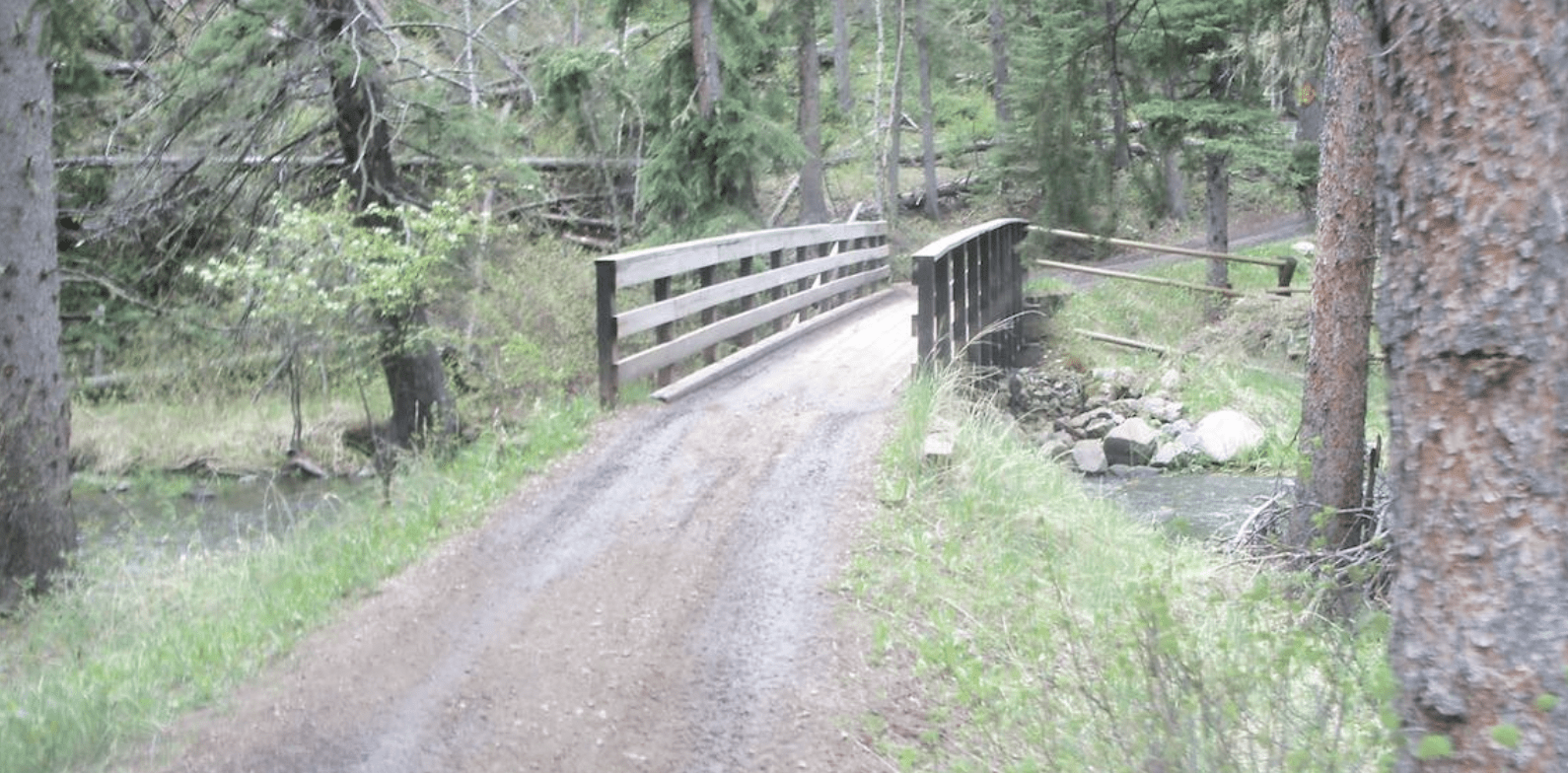
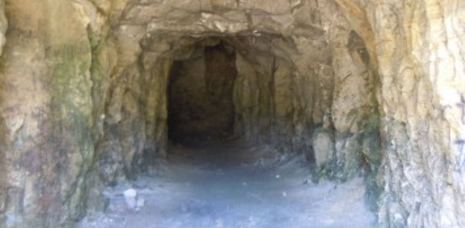
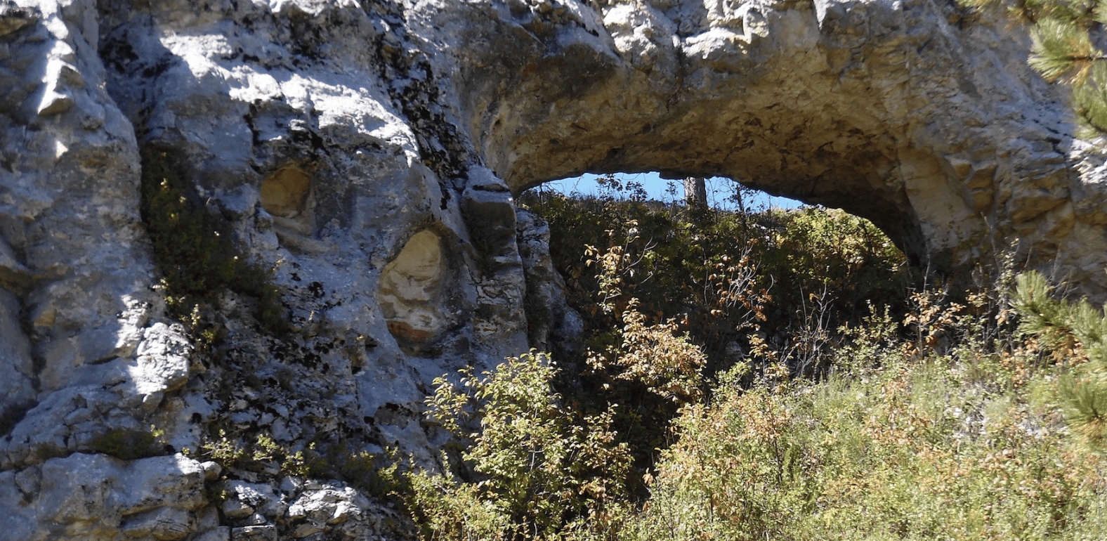
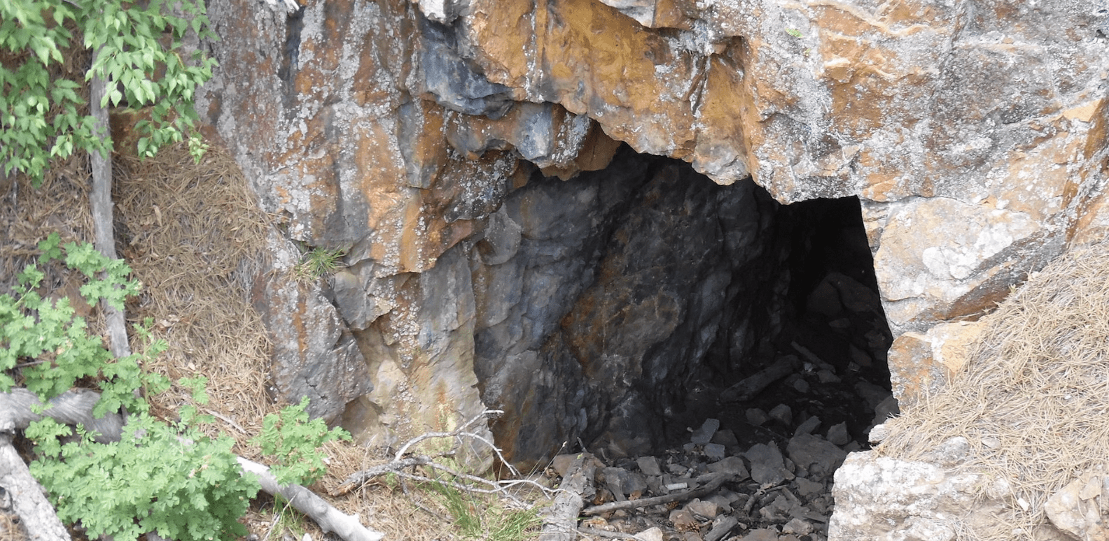
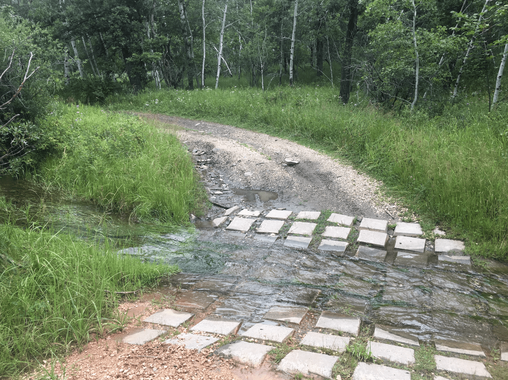
A fairly new trailhead is just established at Trail 3101. Another at Pleasant Valley Road and 276.1A. Make sure you ride the S & G Canyon trail (FSR 274.1) and watch for the wall of caves.
*Website is for information purposes only – ride or drive at your own risk.
Places to Visit:
Favorite Rides Out of Hawkright Trailhead :


Favorite Drives Out of Hawkright Trailhead :
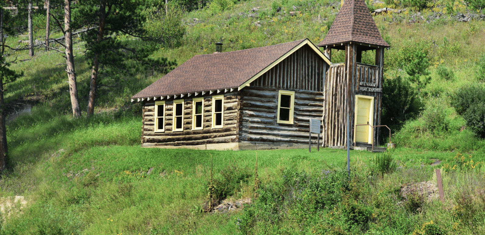
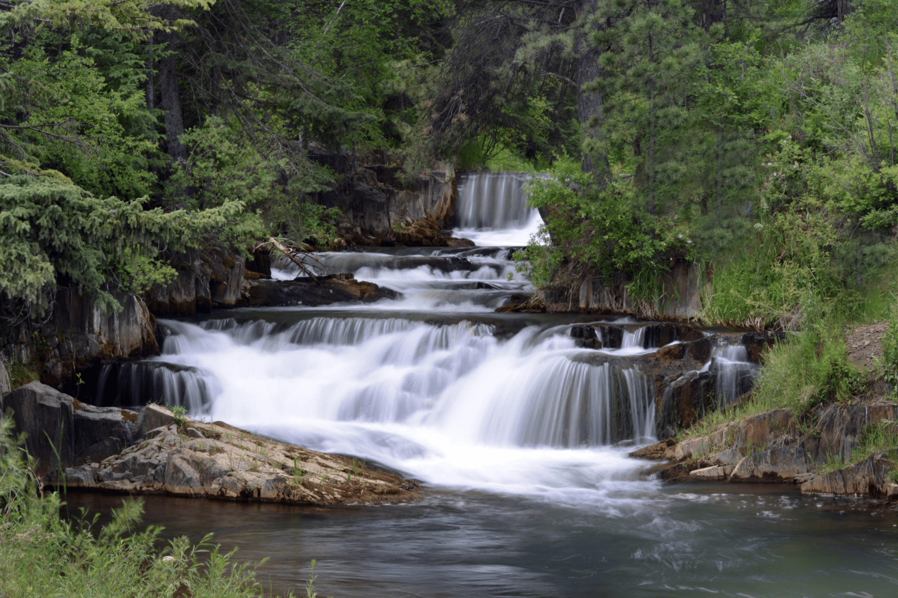
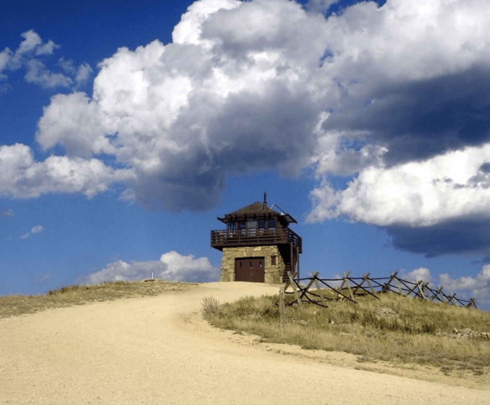
Other Places to Visit:

Trailhead Map: 43.6644,-103.7905
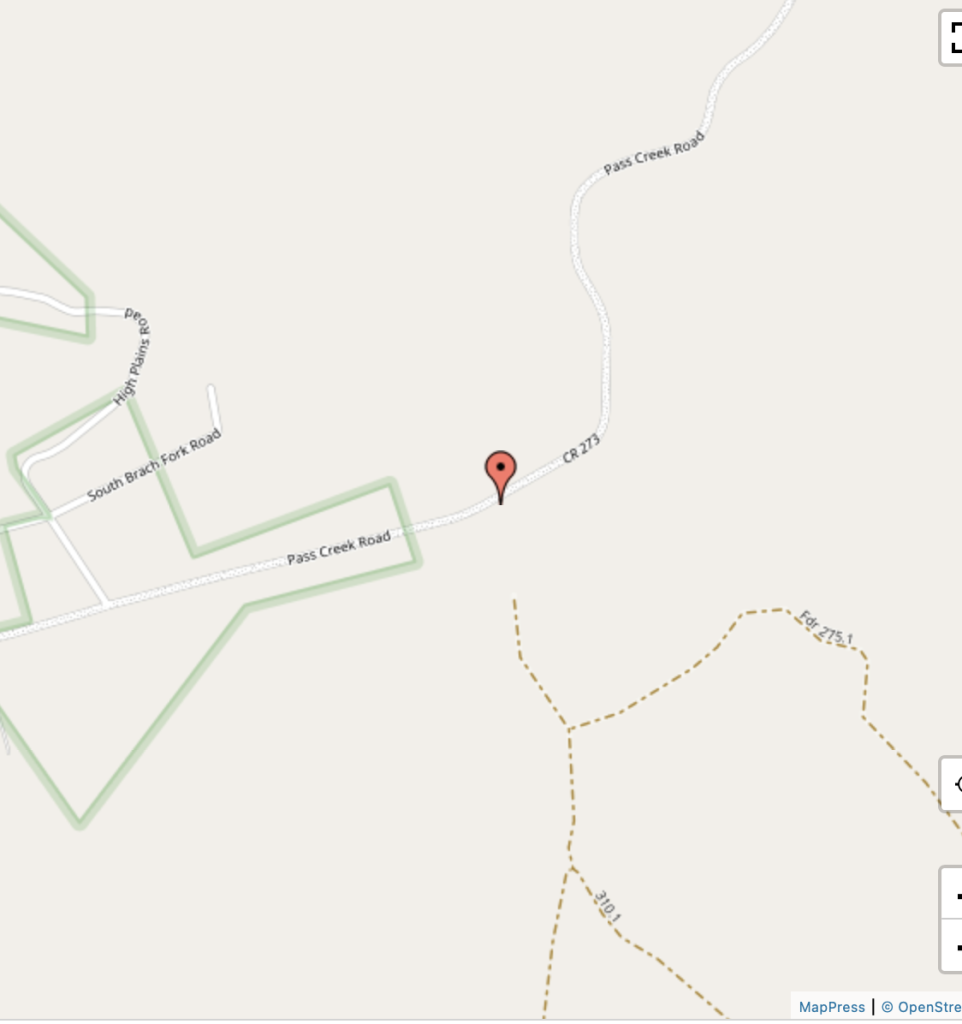
Degrees Minutes Seconds:
Latitude: N43 39 51
Longitude: W103 47 25
Decimal Degrees:
Latitude: N 43.6643753
Longitude: -103.7905025
GPS:
Latitude: N 43 39.863
Longitude: W 103 47.430
UTM:
13N 597516 4835308