*DO NOT USE THESE MAPS AS YOUR “OFFICIAL” TRAVEL MAP USE AVENZA MAP.
The Black Hills National Forest calls them forest service roads, but some riders call them 82′ non-width restricted trails. Many of these forest service roads are trail-like!
These are the trails the wider machines can legally use. Some of these trails are open year-round. These are the trails that often take you into the mystery and history of the Black Hills.
There are over 3,000 miles of these forest service road, 82″ non-width restricted trail-like trails. These trails are numbered on the MVUM, with three digit numbers like 201 or 201 2A.
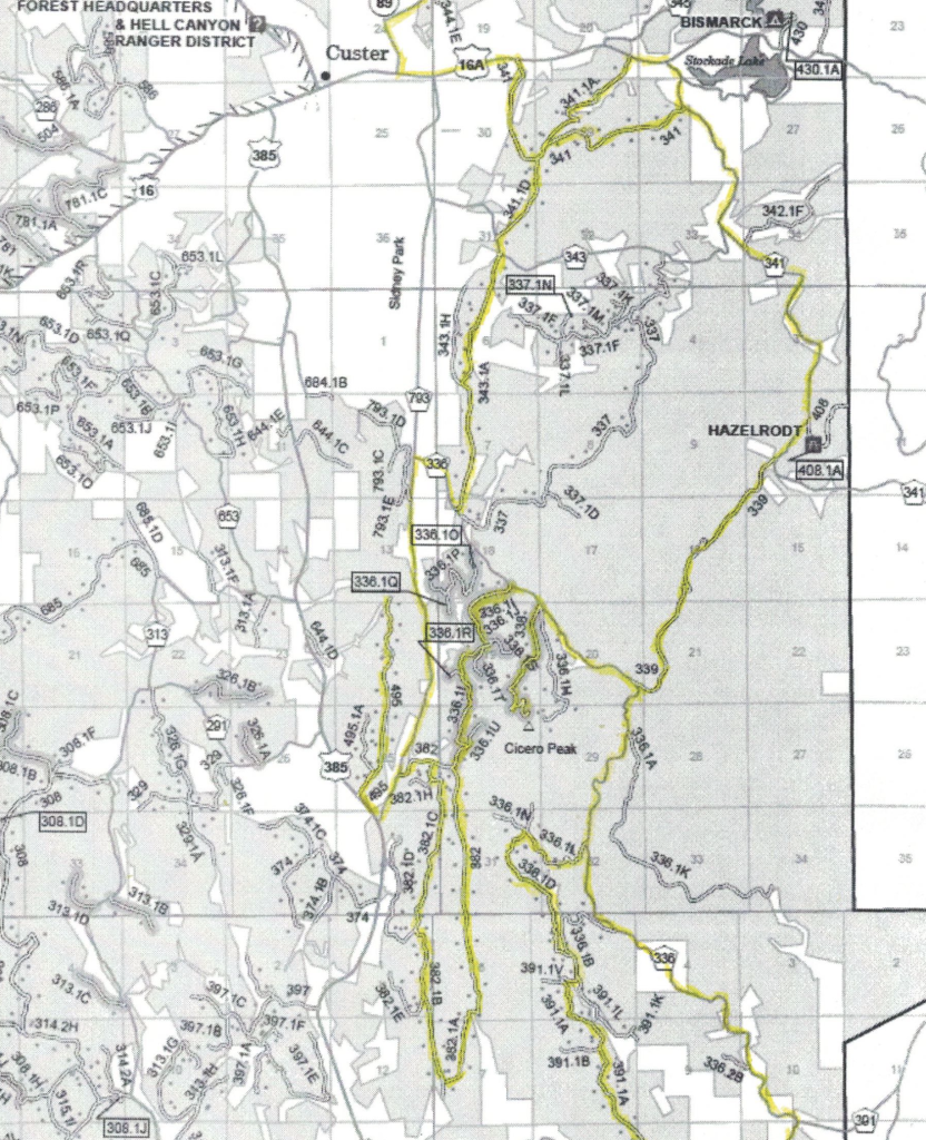
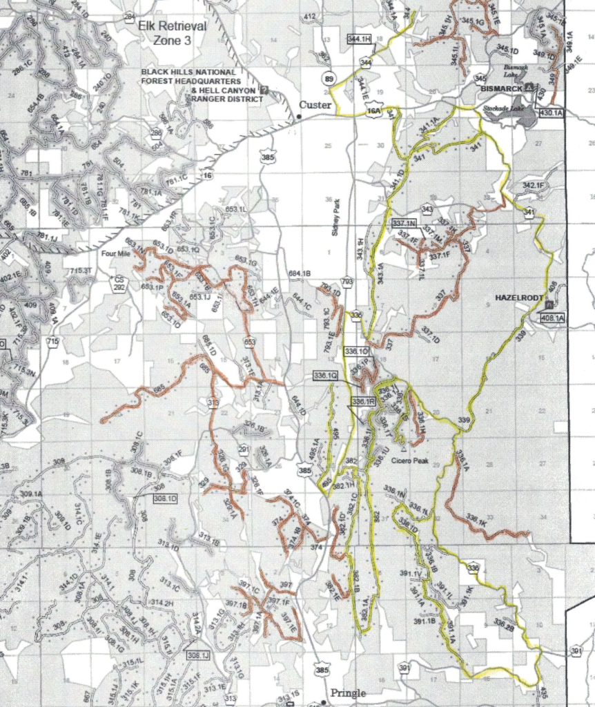
Located just South East of Custer, South Dakota the Hazelrodt Ride is a nice set of trail-like Forest Service roads. The ride borders the West side of Custer State Park.
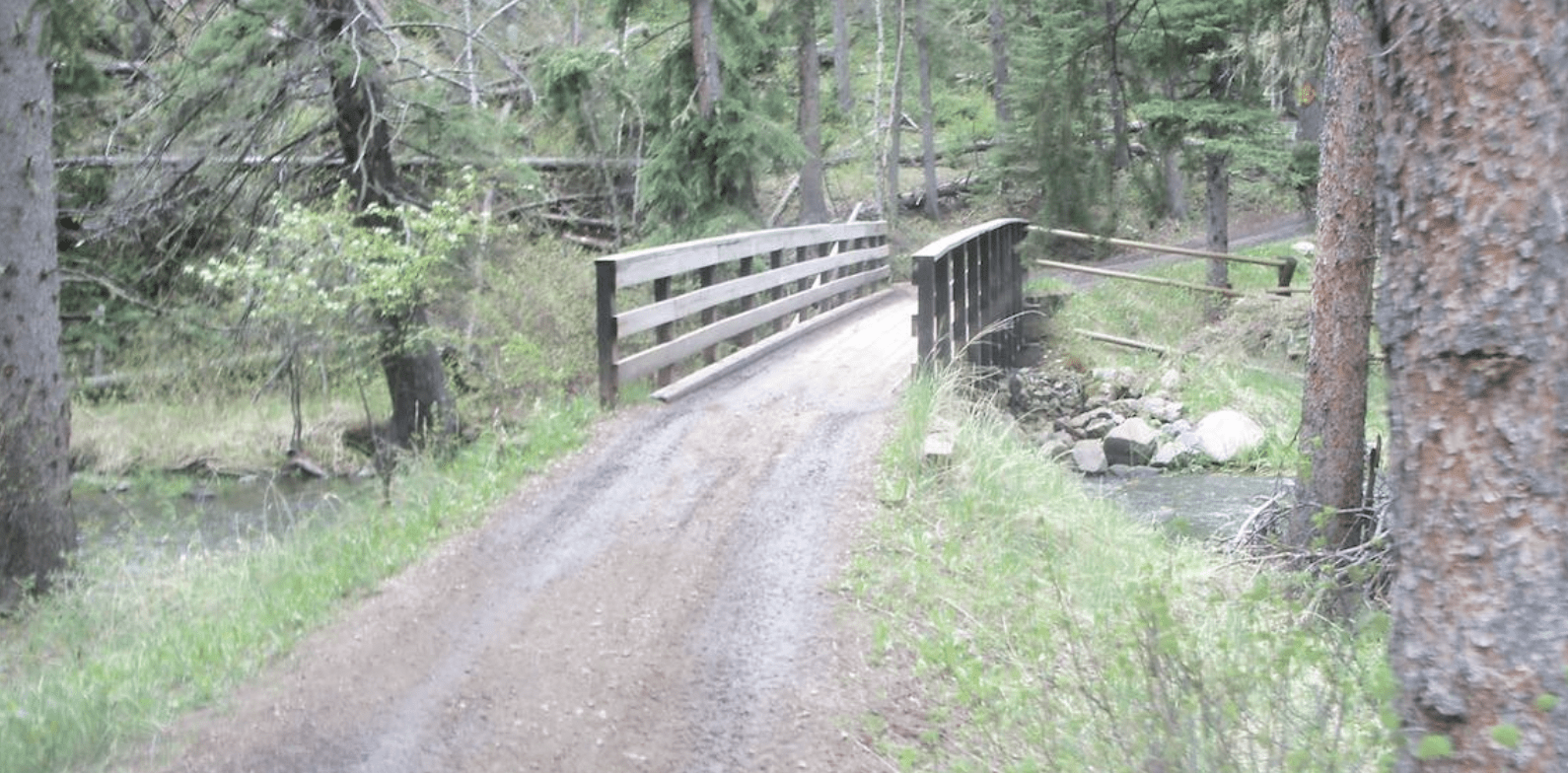
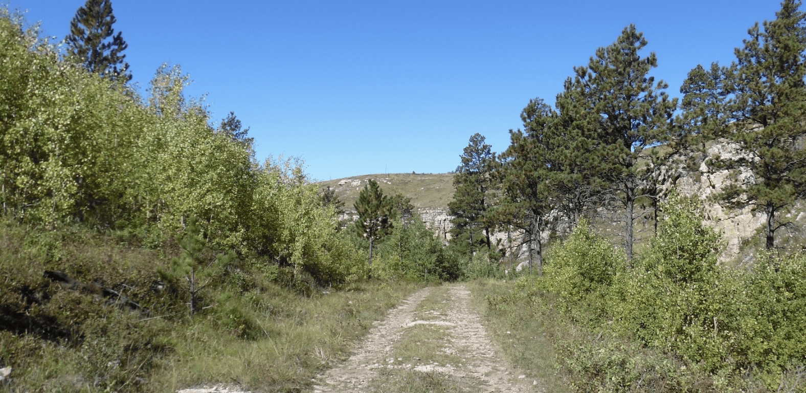
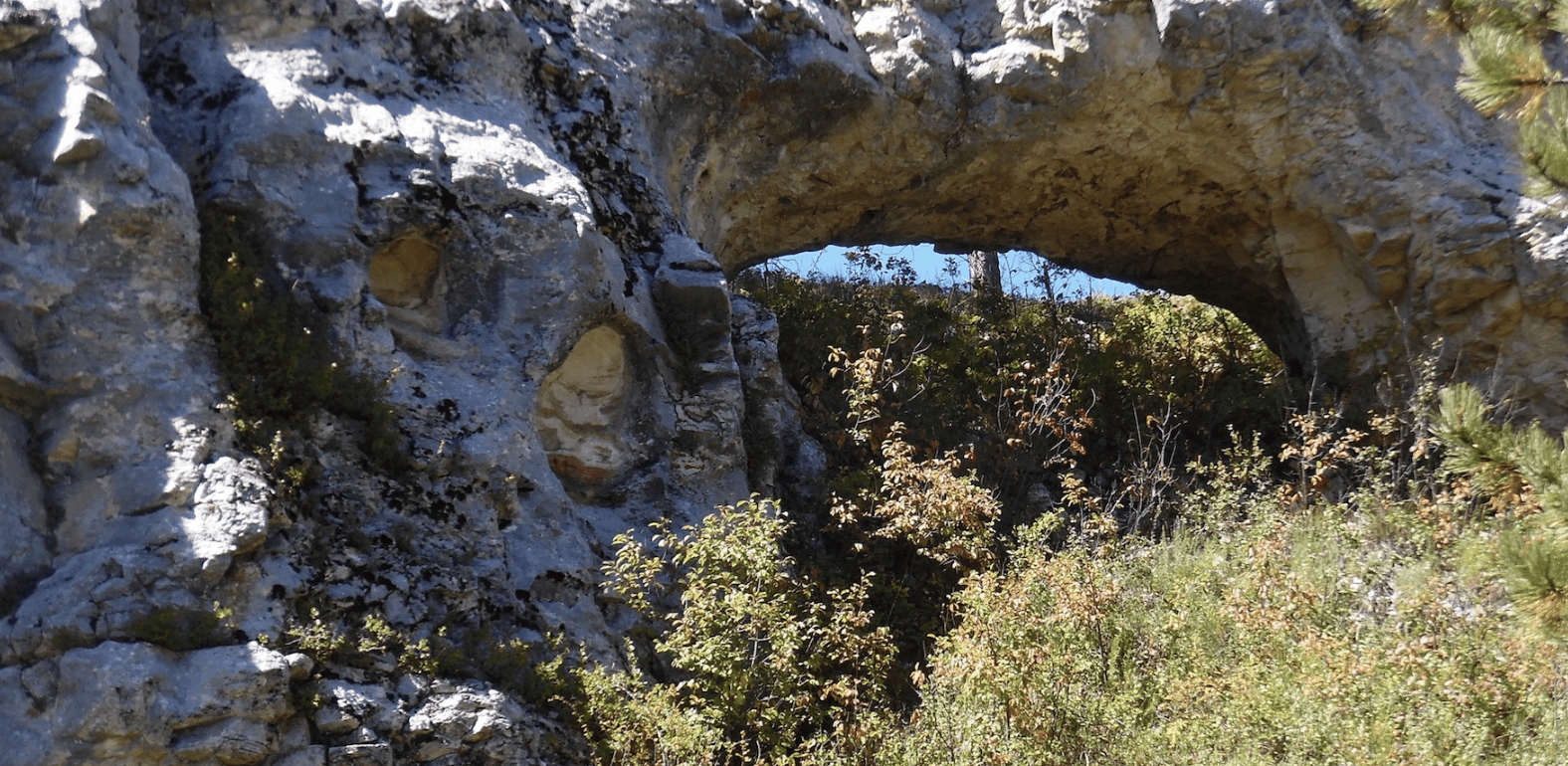
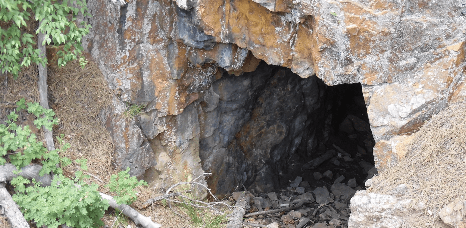
The secluded Trail 336 has some interesting hidden secrets.
The first White woman to enter the Black Hills, is honored with the Annie Tallent Monument.
To explore the Black Hills National Forest or ride the Mickelson Trail, Deadwood Outdoor Rentals is your perfect destination.
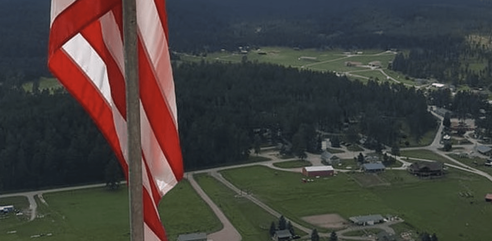
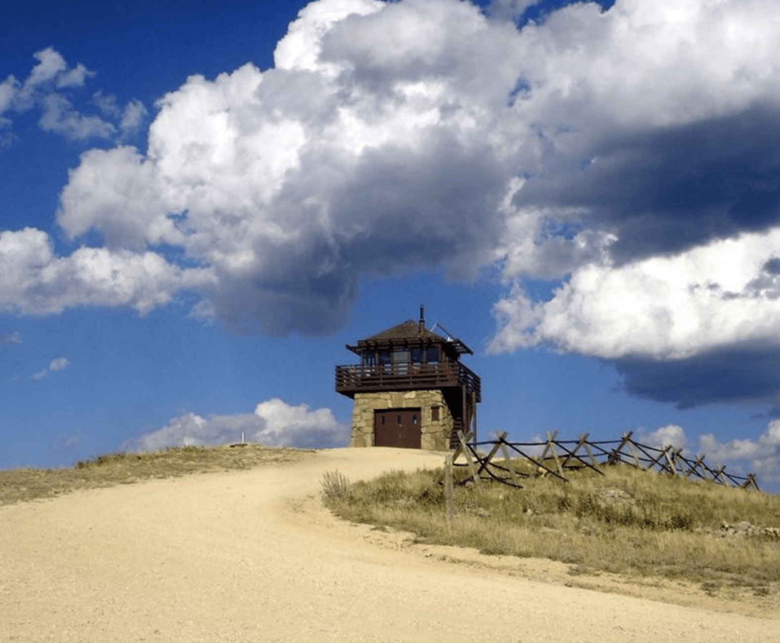
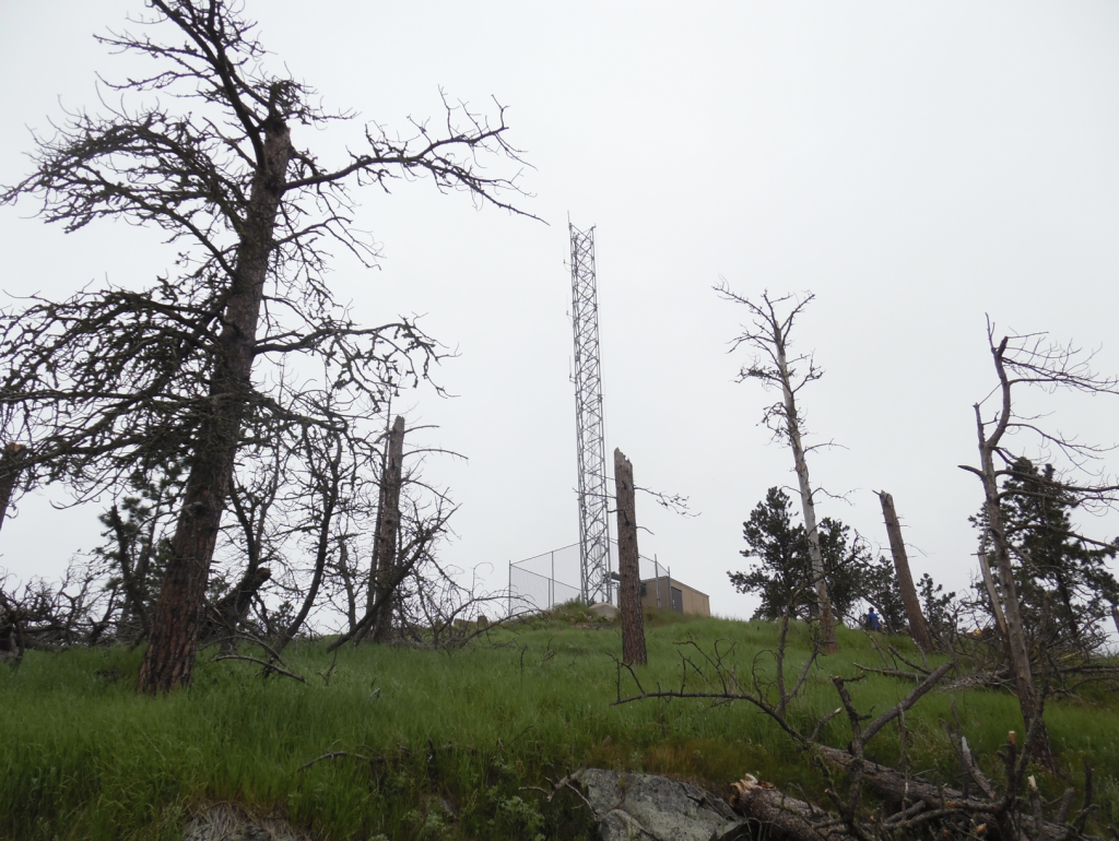
A ride to the top of Cicero Peak brings you to the Cicero Peak Tower.
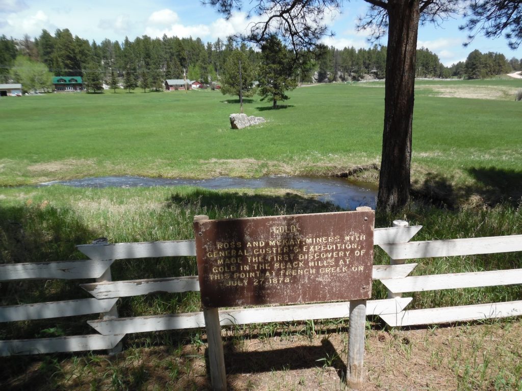
General George Custer’s “Permanent Camp” was located in this area. Miners with him, discovered the “first gold.”
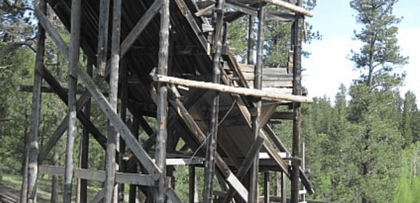
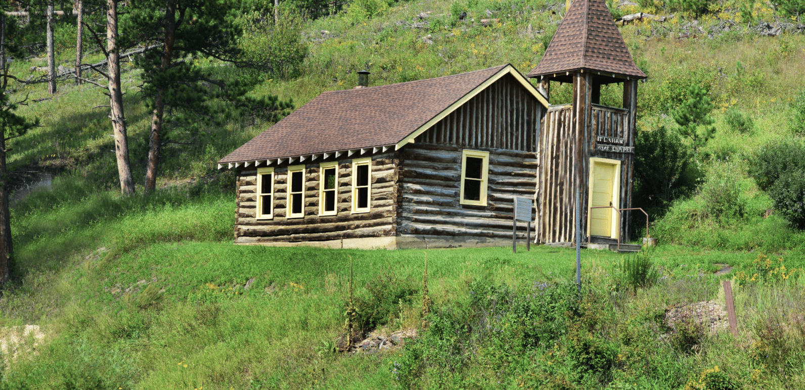
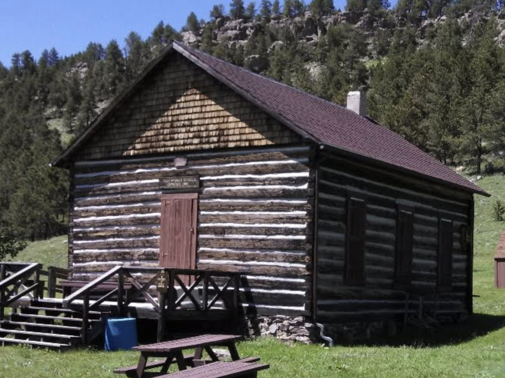
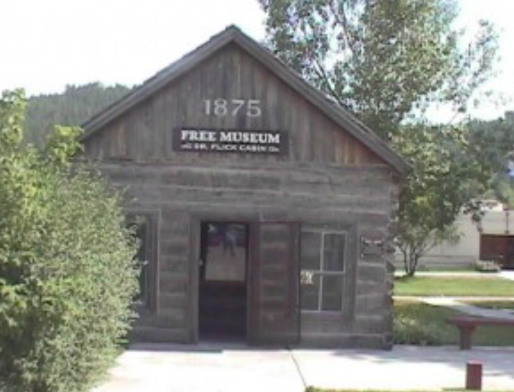
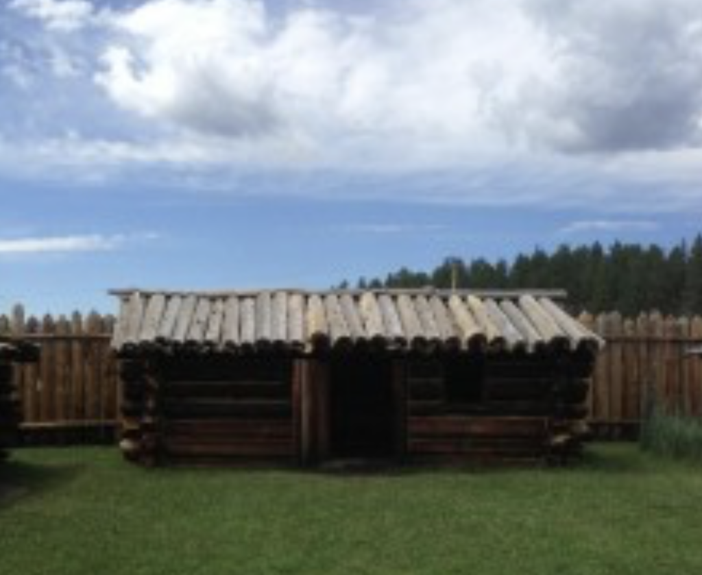
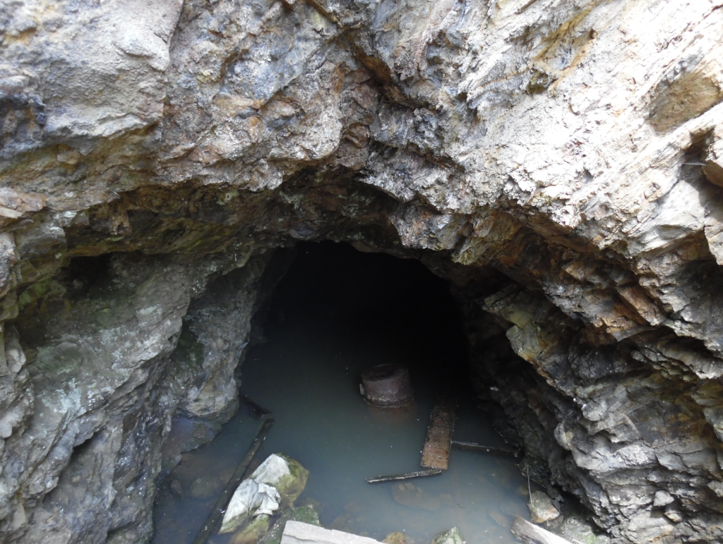
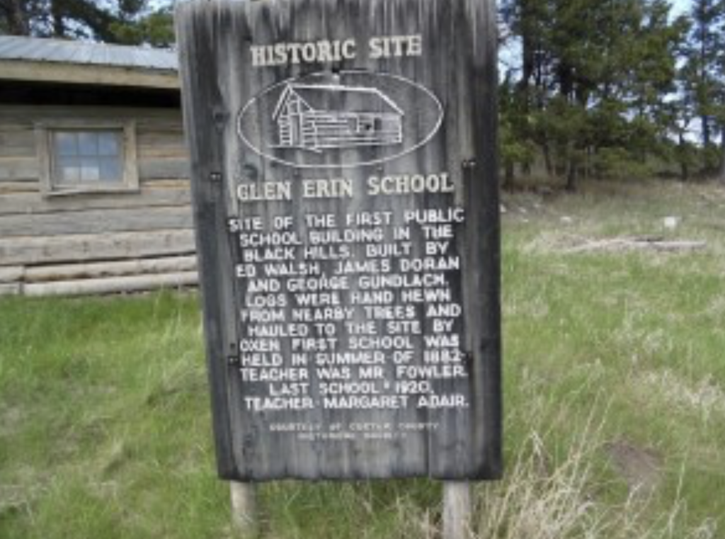
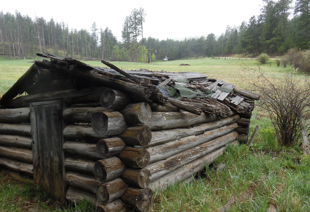
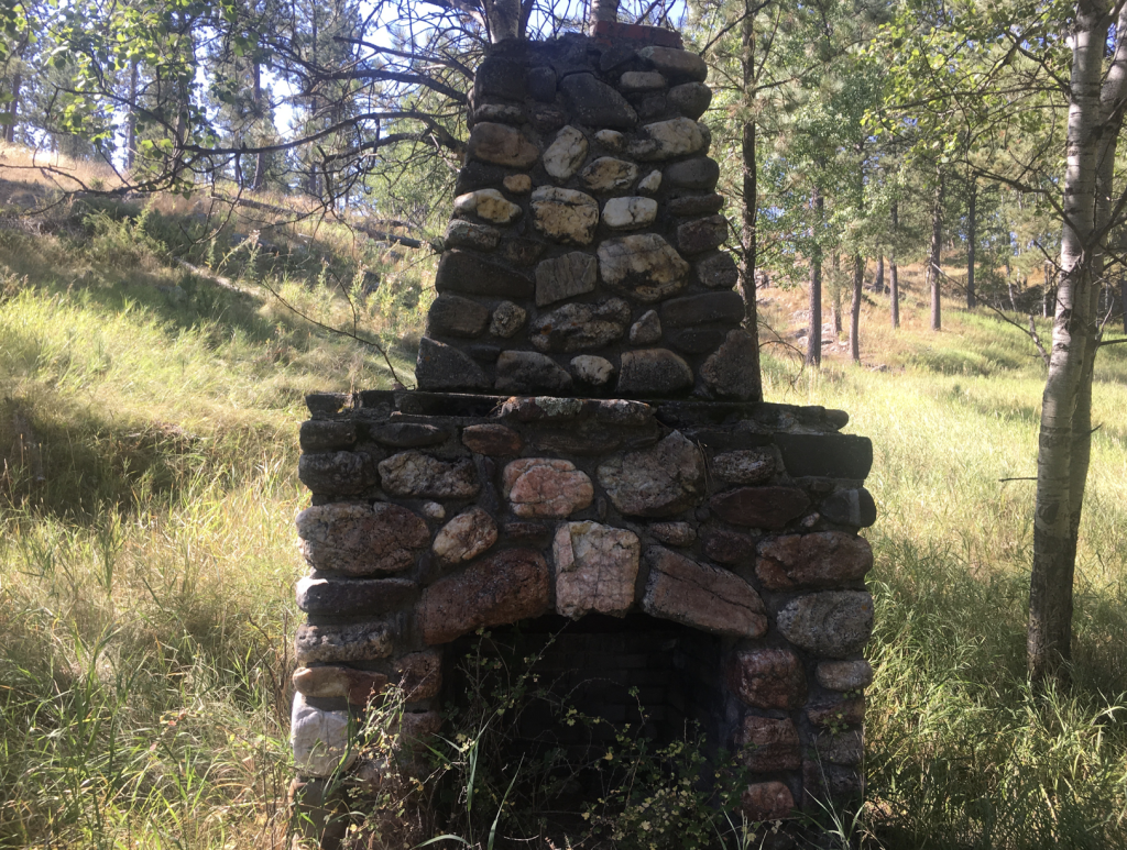
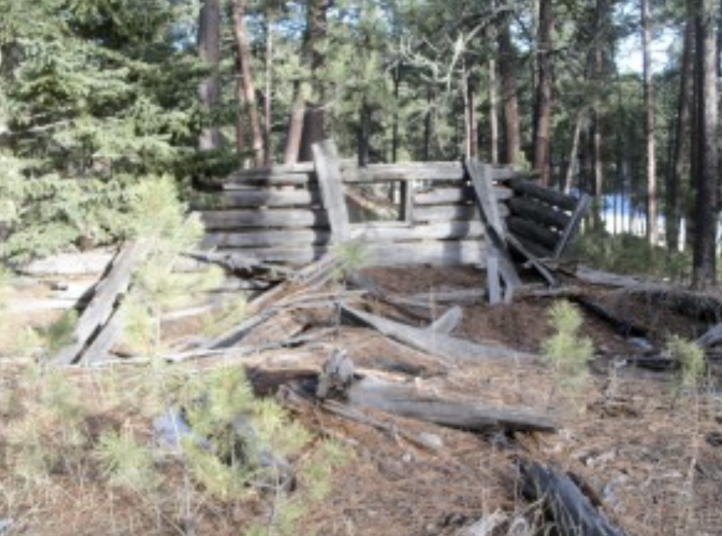
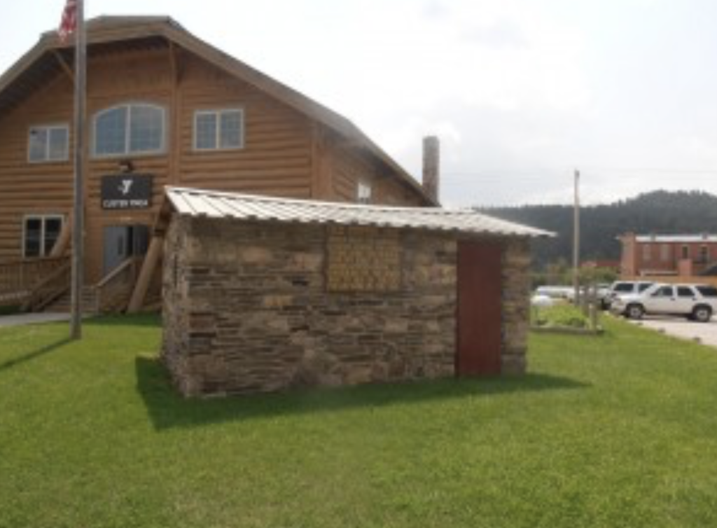
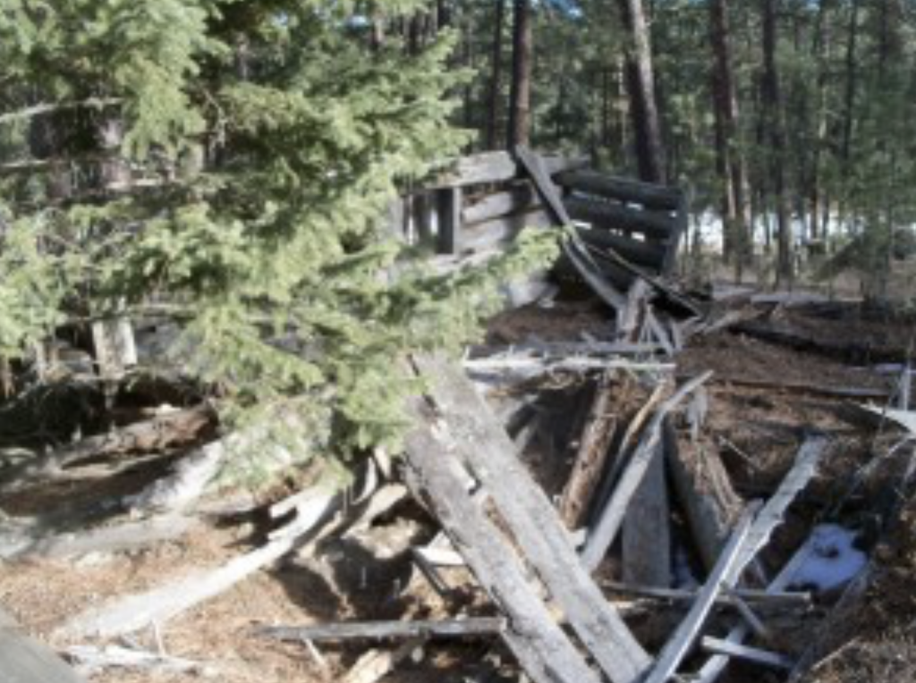
Historic buildings populate the area. watch for the Glen Erin School, a historic fireplace, the Meeker Ranch, Meeker Road cabin, the old Custer Jail, Wild Rose mine cabin, Flick Cabin and Fort Defiance.
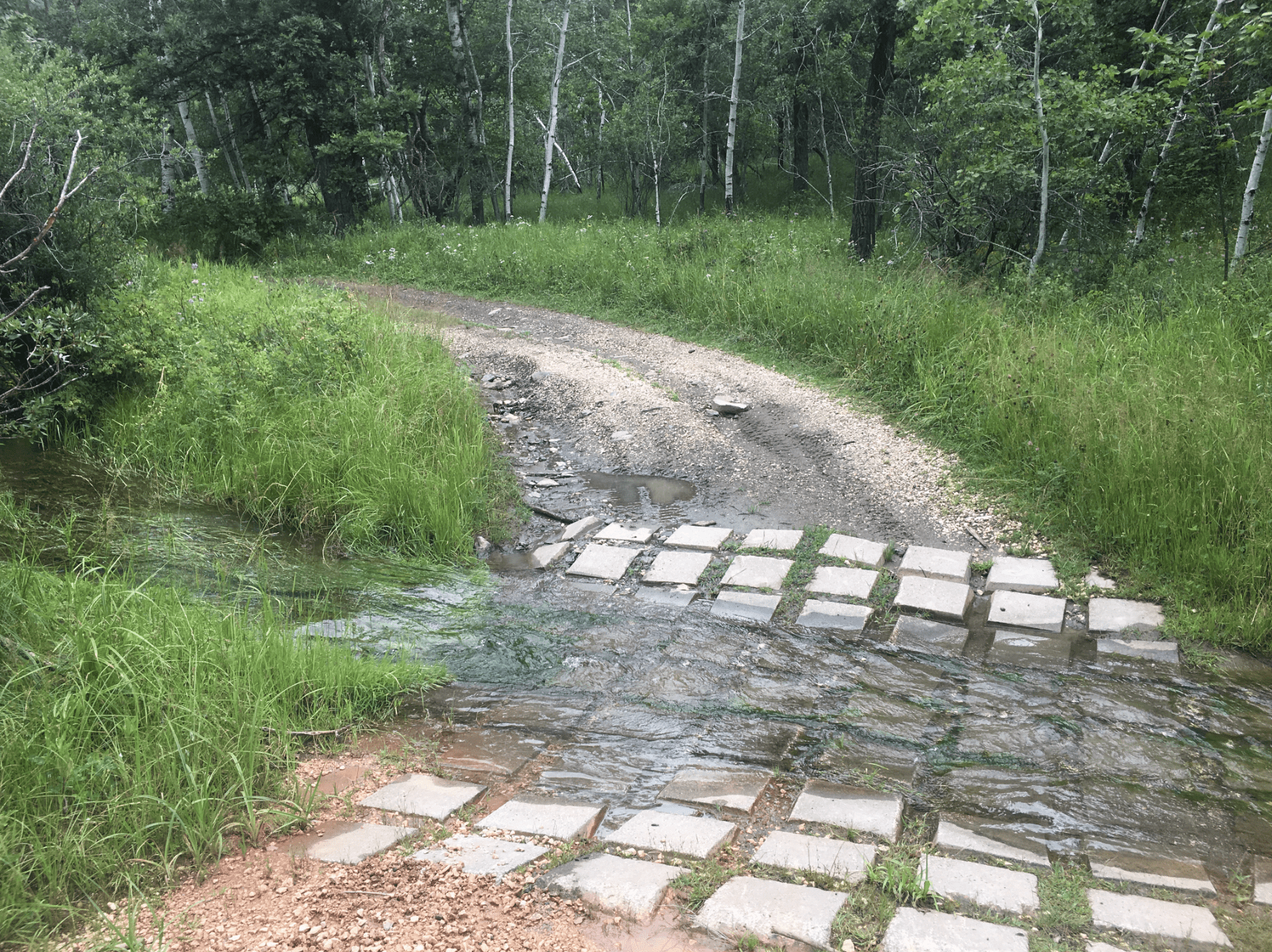
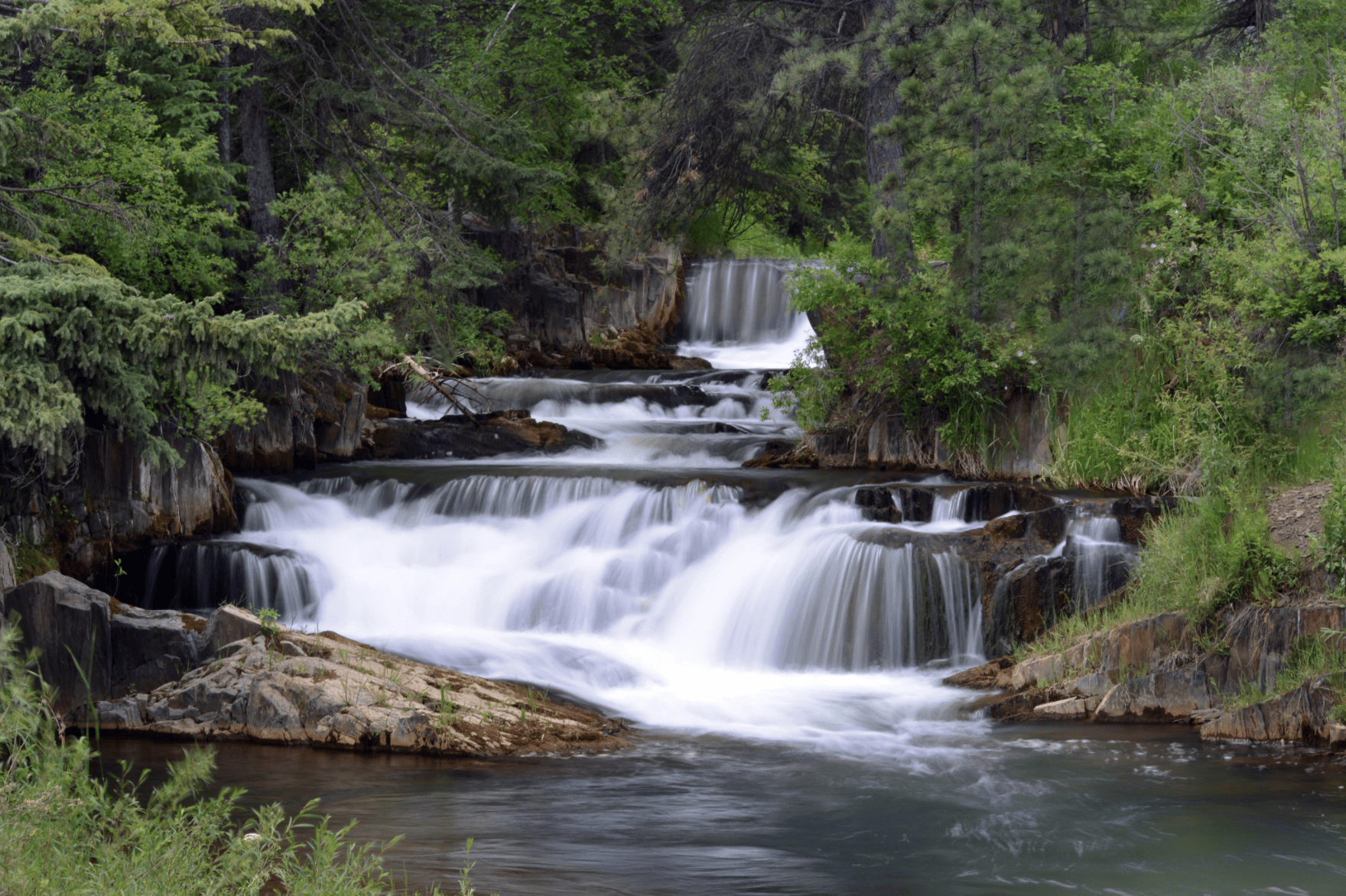
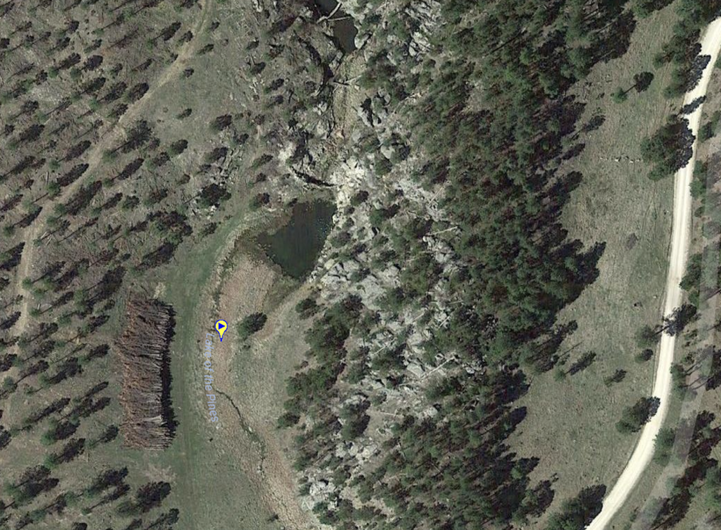
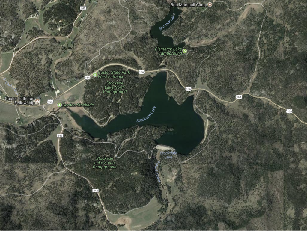
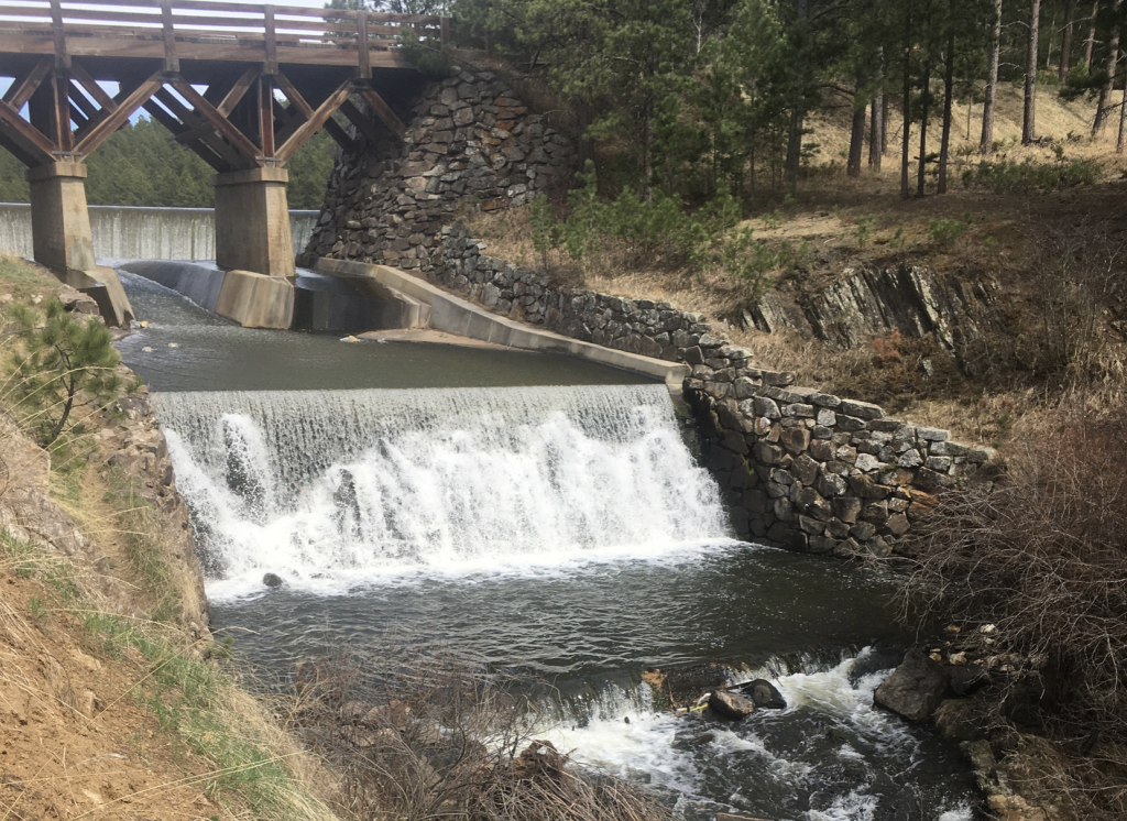
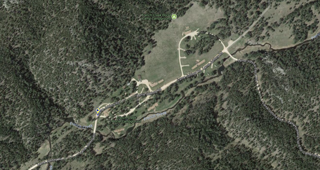
Water features include: Flynn Creek, French Creek, Lake of the Pines, Stockade Lake Bridge waterfall, and Stockade Lake.
There are no width restrictive trails on the Hazelrodt Ride.
Connecting rides include: Bluebird Ride and Castle Rock Ride.
Parking is located at the Hazelrodt picnic area. On the weekend you could park at the High School, or even at the Hell Canyon National Forest Office.
*Website is for information purposes only – ride or drive at your own risk.https://rumble.com/embed/v1bw8o9/?pub=alqx5
Places to Visit:










*Drive at your own risk
Other Places to Visit:
Trailhead:
Connecting Favorite Drives:
Parking Map: 43.6644,-103.7905

