*DO NOT USE THESE MAPS AS YOUR “OFFICIAL” TRAVEL MAP USE AVENZA MAP

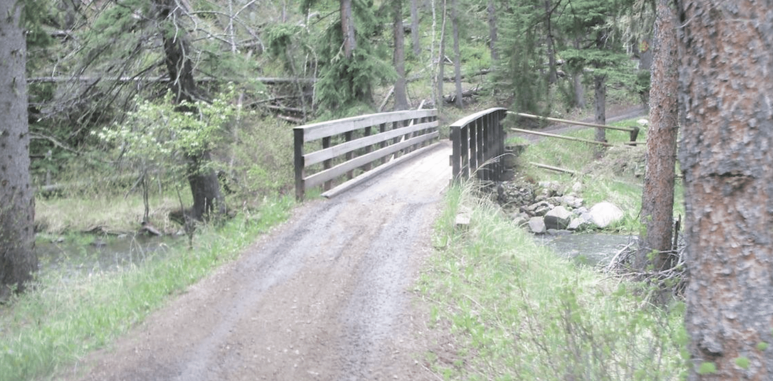
If you do not mind walking you can experience one of the most historic canyons along Slate Creek.
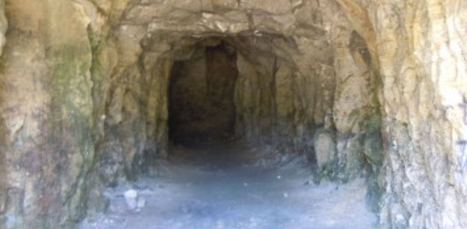
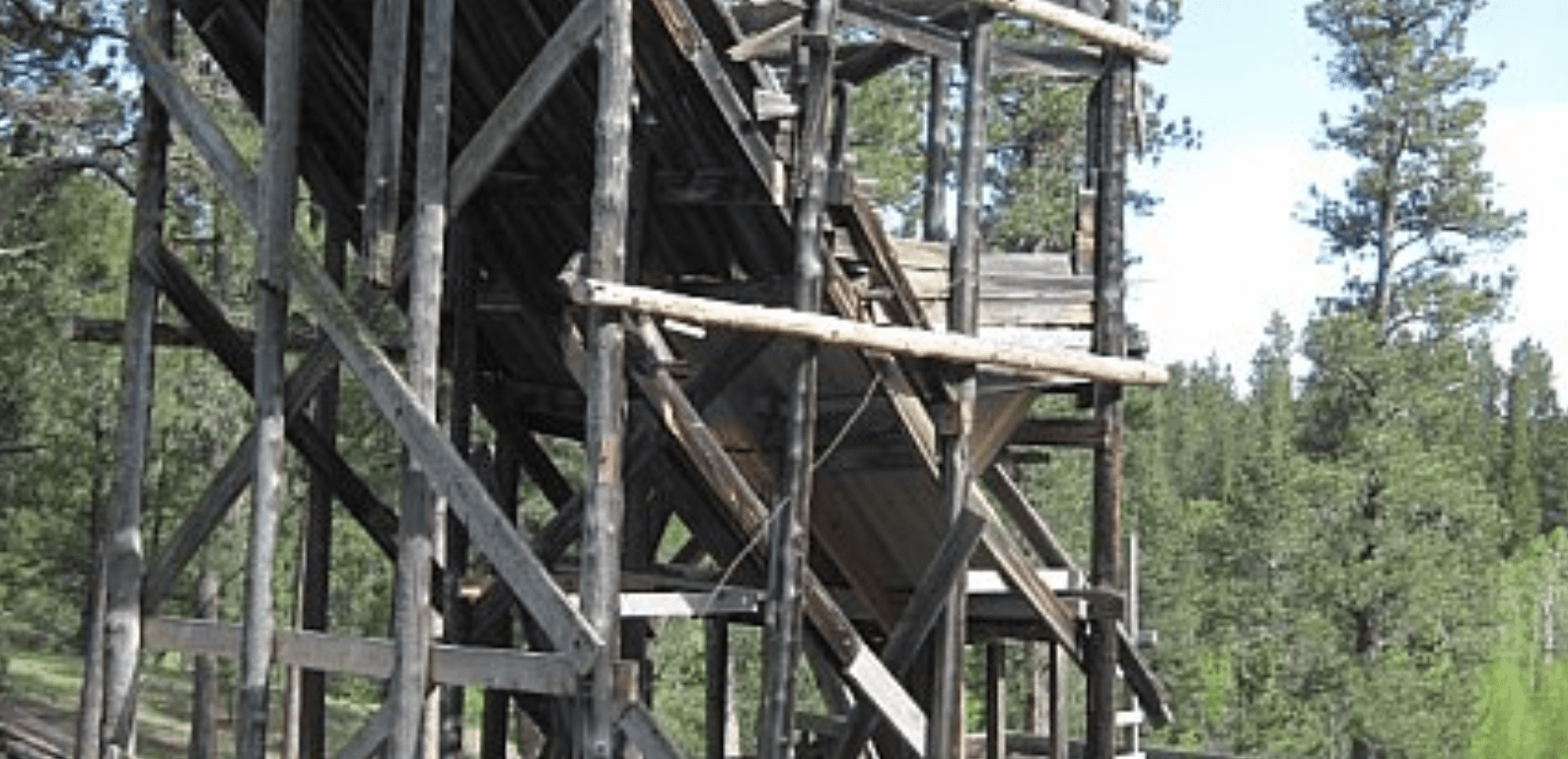
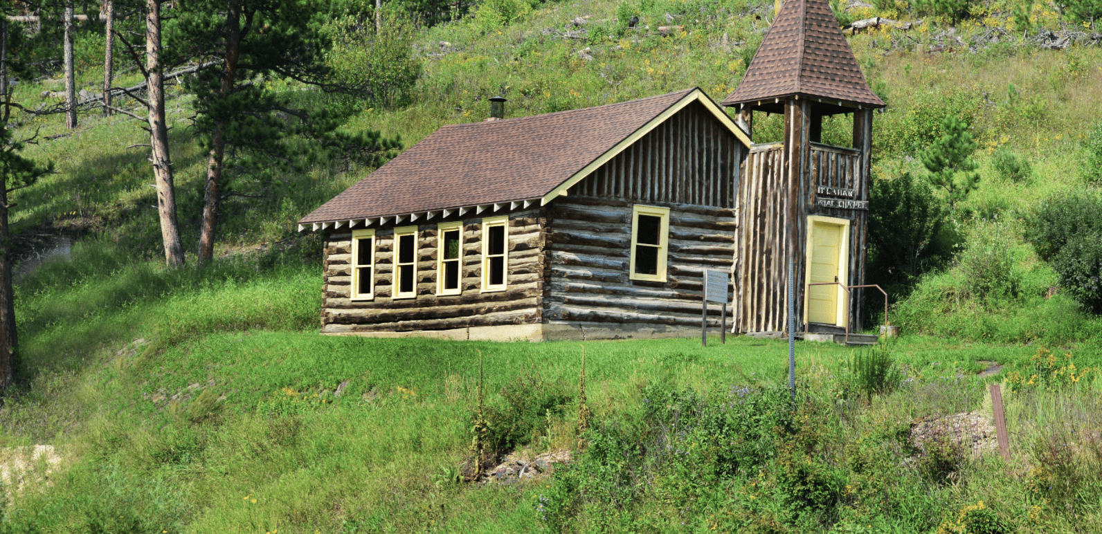
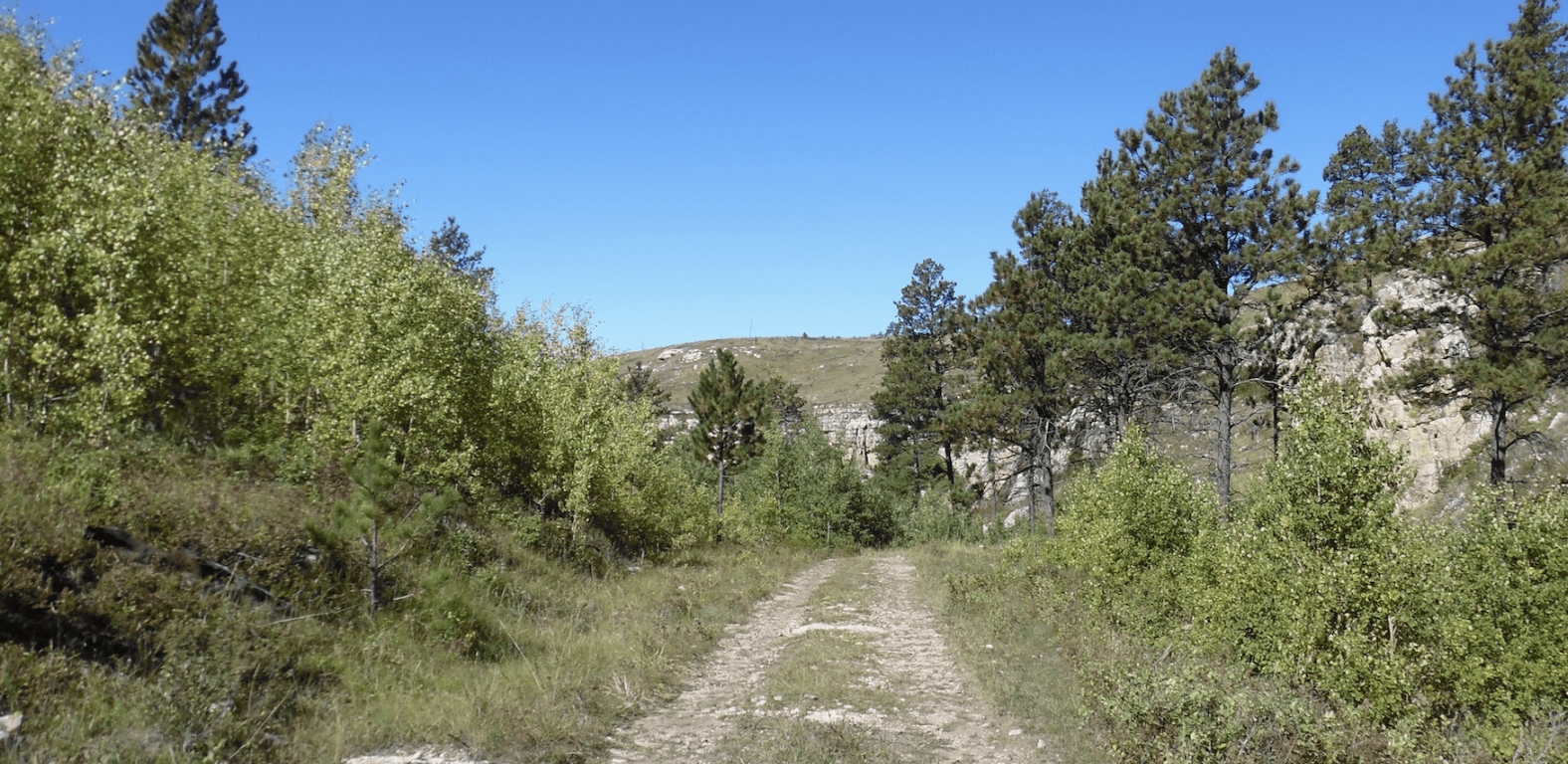
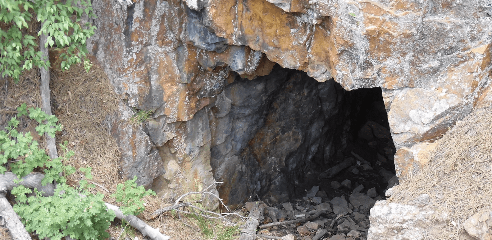
Even from your atv you will see old cabins, old gold mines, and a group of Forest Service roads and trails with great scenic value.
The Redfern Trailhead is named from an old railroad ghost town. The trailhead is no longer on Forest Service maps but parking here still exists or you can park at the Tigerville Trailhead.
To explore the Black Hills National Forest or ride the Mickelson Trail, Deadwood Outdoor Rentals is your perfect destination.
*Website is for information purposes only – ride or drive at your own risk.
Places to Visit:
Favorite Rides Out of Redfern Trailhead:


Favorite Drives Out of Redfern Trailhead:


Other Places to Visit:
Trailhead Map: 44.0232,-103.6538
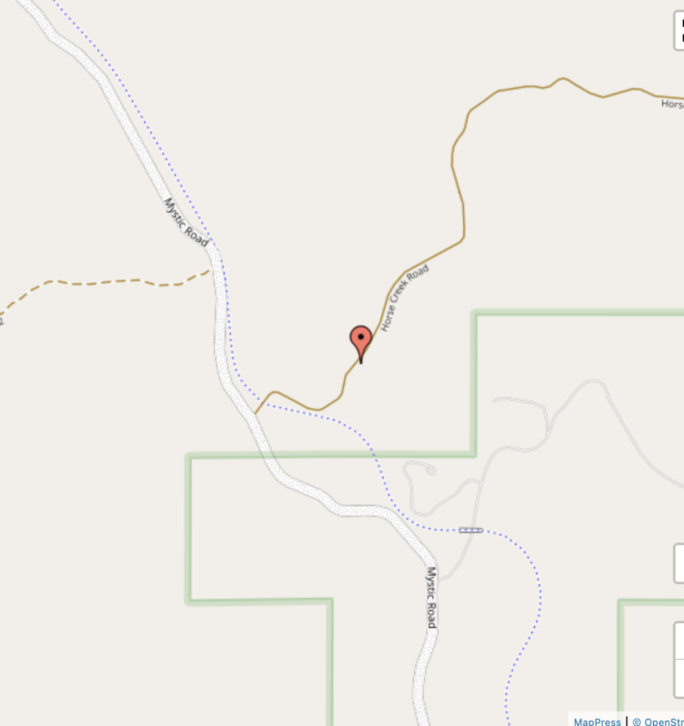
TRAILHEAD:

Degrees Minutes Seconds:
Latitude: N 44 01 23
Longitude: W -103 39 13
Decimal Degrees:
Latitude: N 44.0231872
Longitude: -103.6537957
GPS:
Latitude: N 44 01.391
Longitude: W -103 39.228
UTM:
13N 607889 4875329
