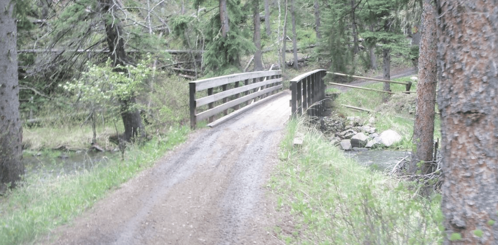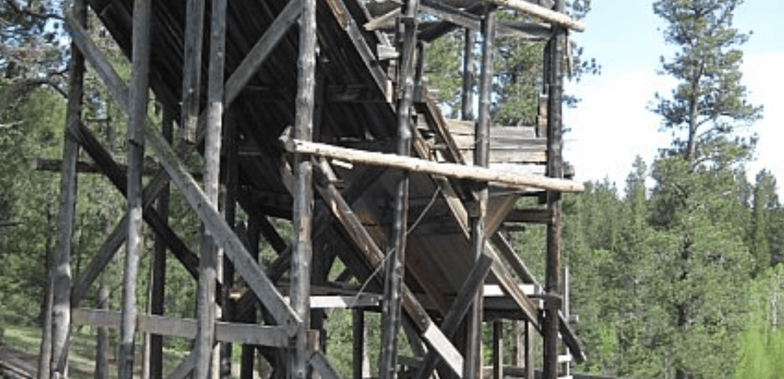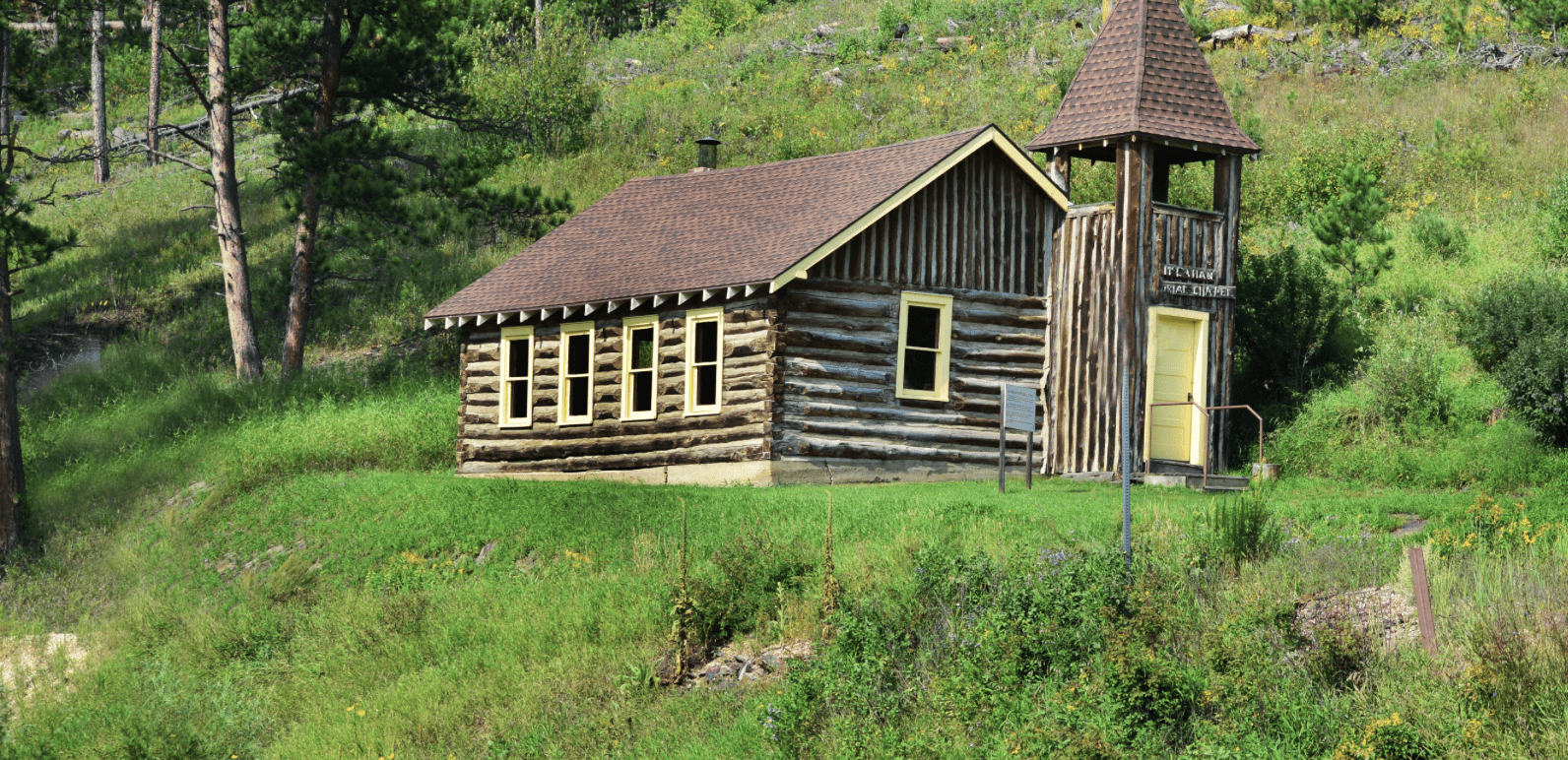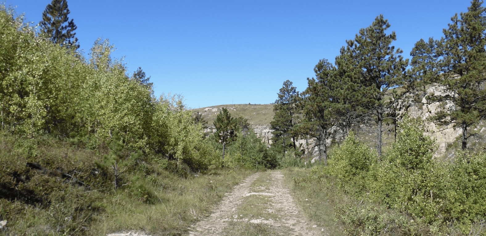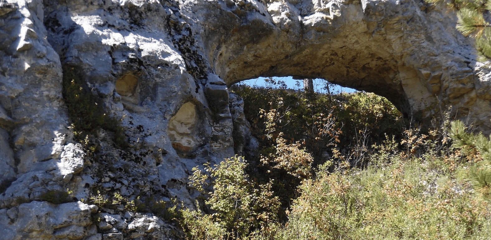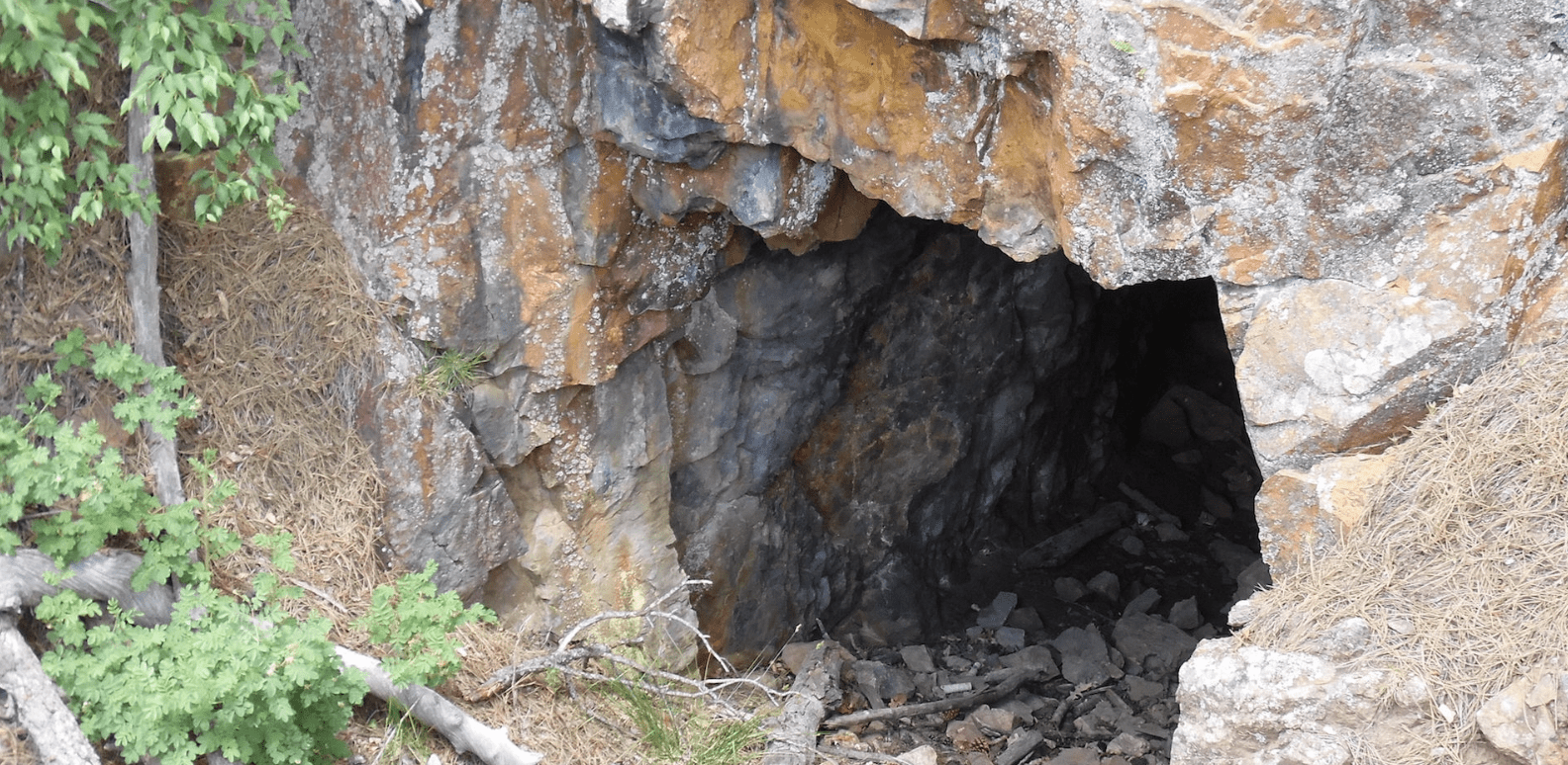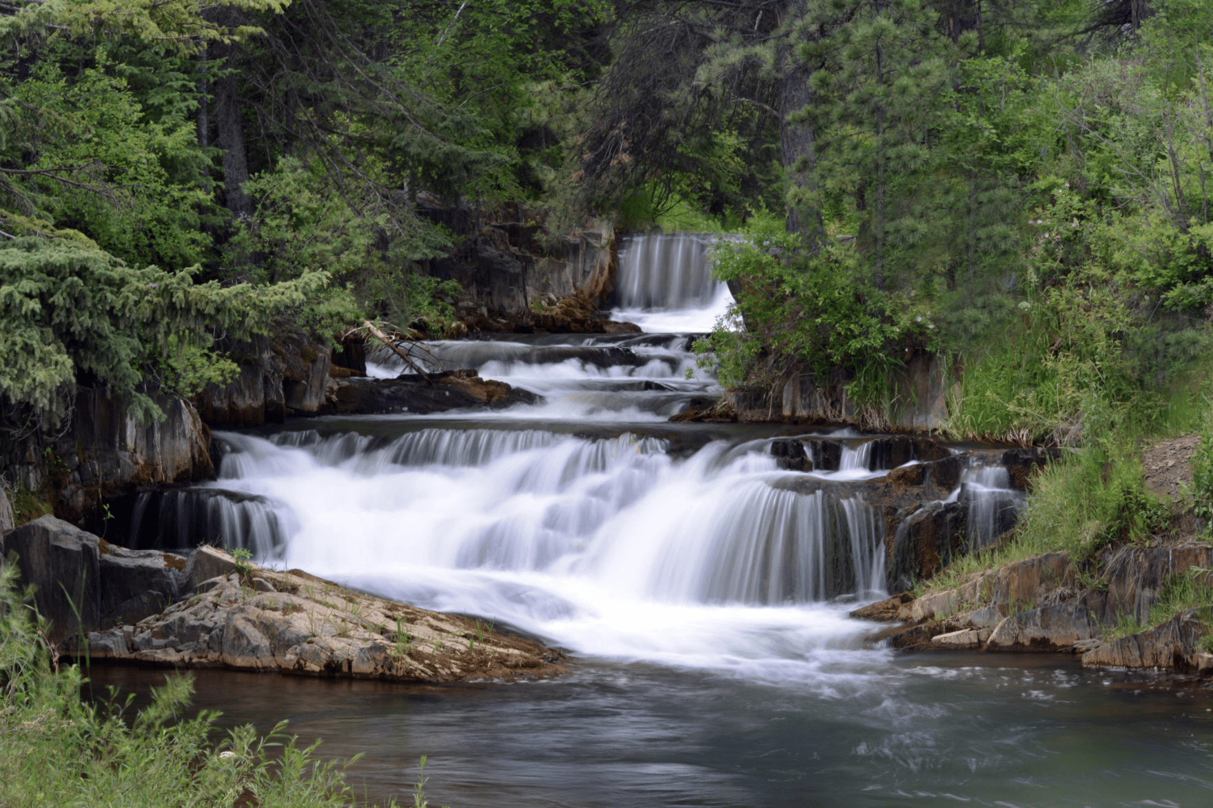
From out of Sheridan Lake water flows through what remains of a water flume built to provide water for Rockerville area mining in the 1880s.
*requires off-atv hiking
*Website is for information purposes only – participate at your own risk.
Degrees Minutes Seconds:
Latitude: N43 58 39
Longitude: W103 26 58
Decimal Degrees:
Latitude: N 43.977522
Longitude: W -103.449571
GPS:
Latitude: N 43 58.651
Longitude: W 103 26.974
UTM:
13N 624352 4870545
Trailhead:
Pine Grove Trailhead
