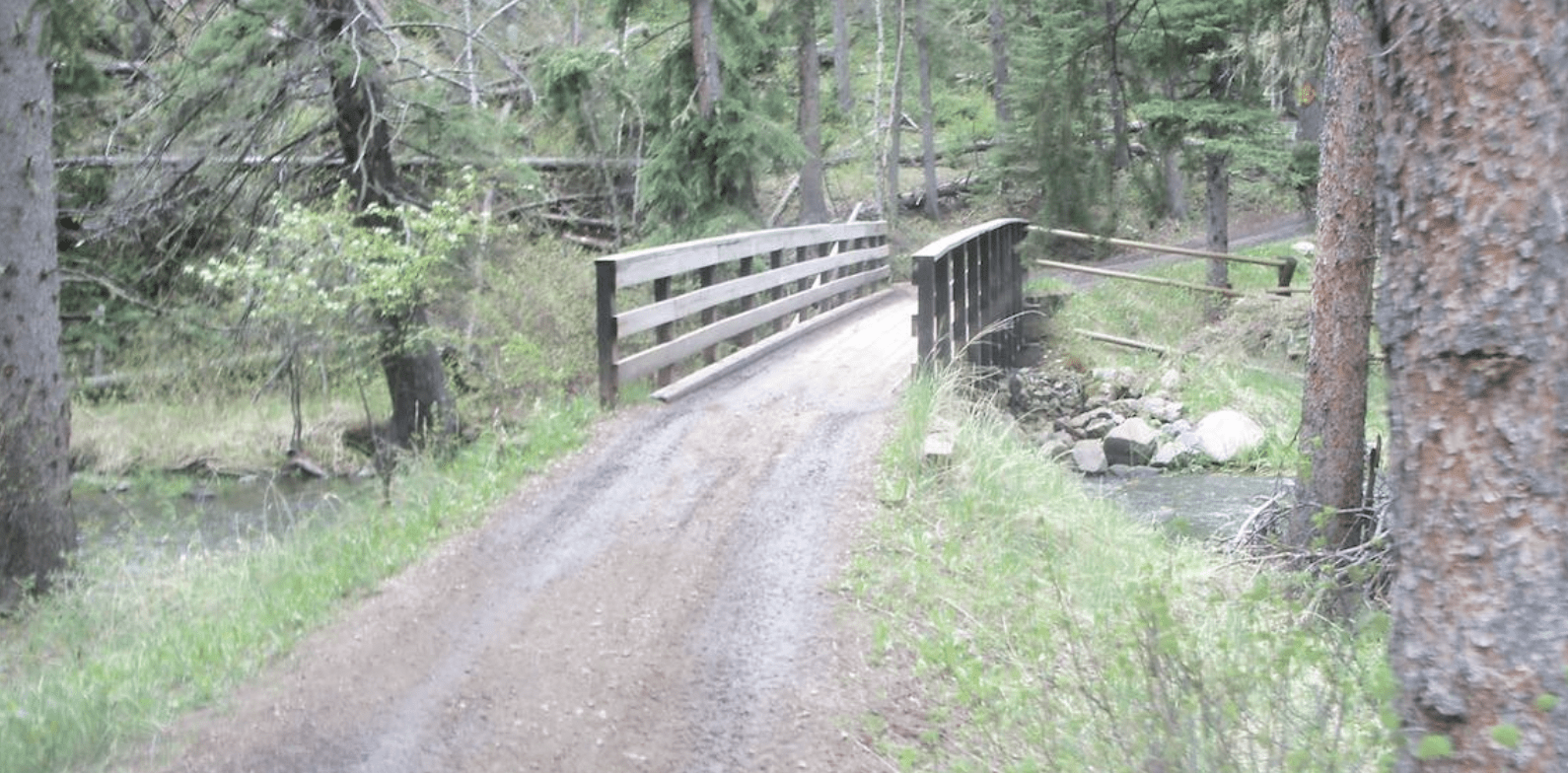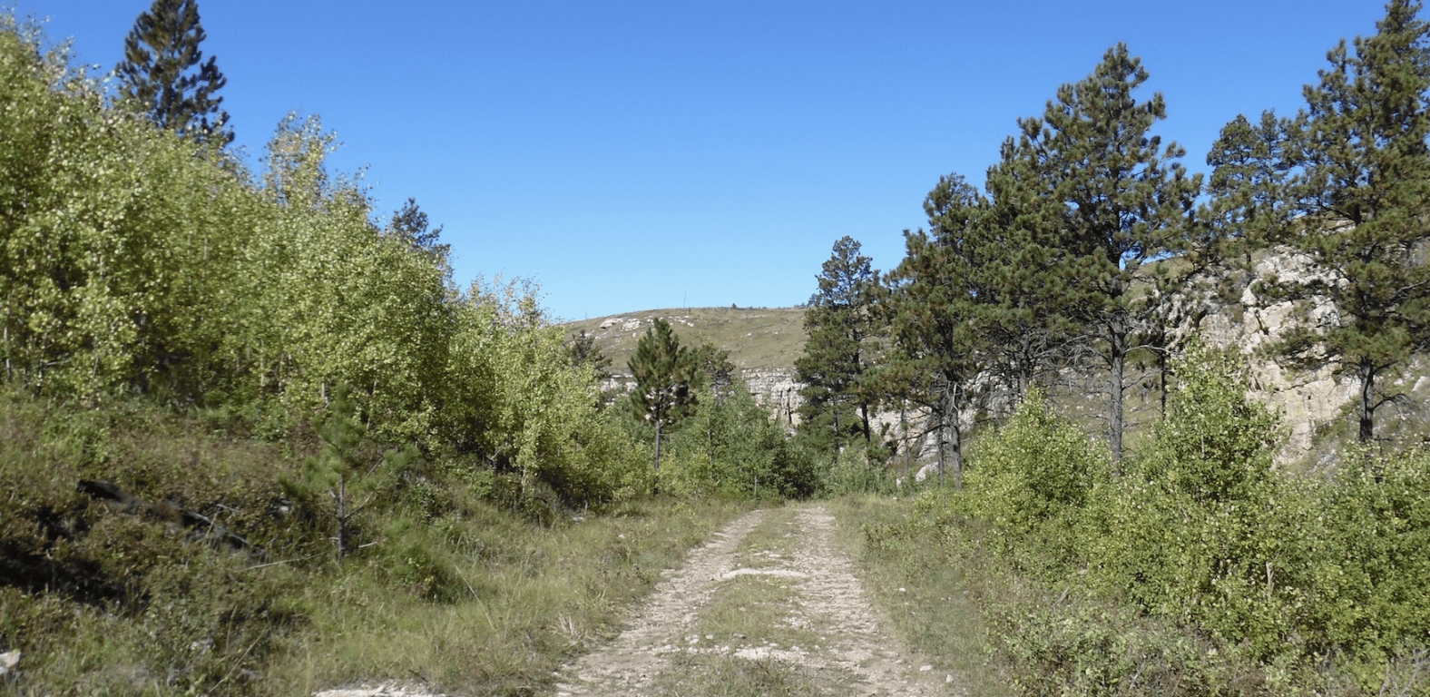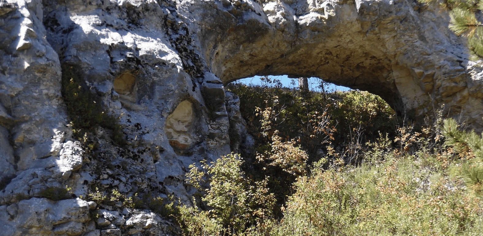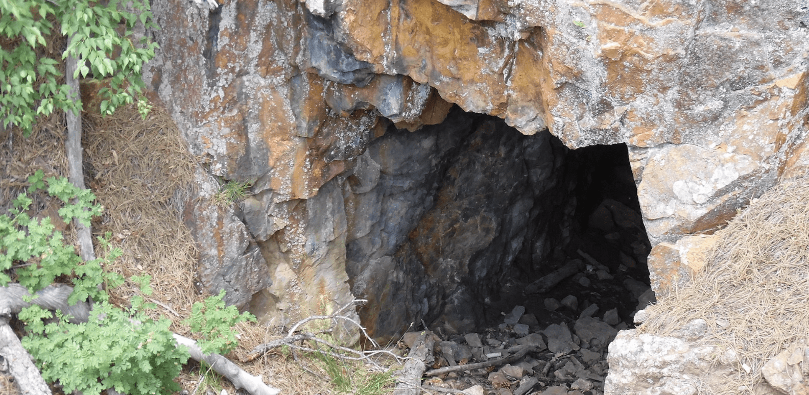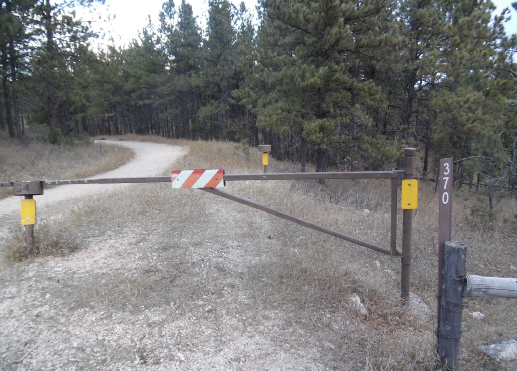
A convenient, short hike to an incredible view. This trail is not well marked except for the Forest Service Road sign #370 and the numerous local hiker’s vehicles parked at the gate entrance. The trail follows the Big Red Road a graveled maintenance road for less than a mile.
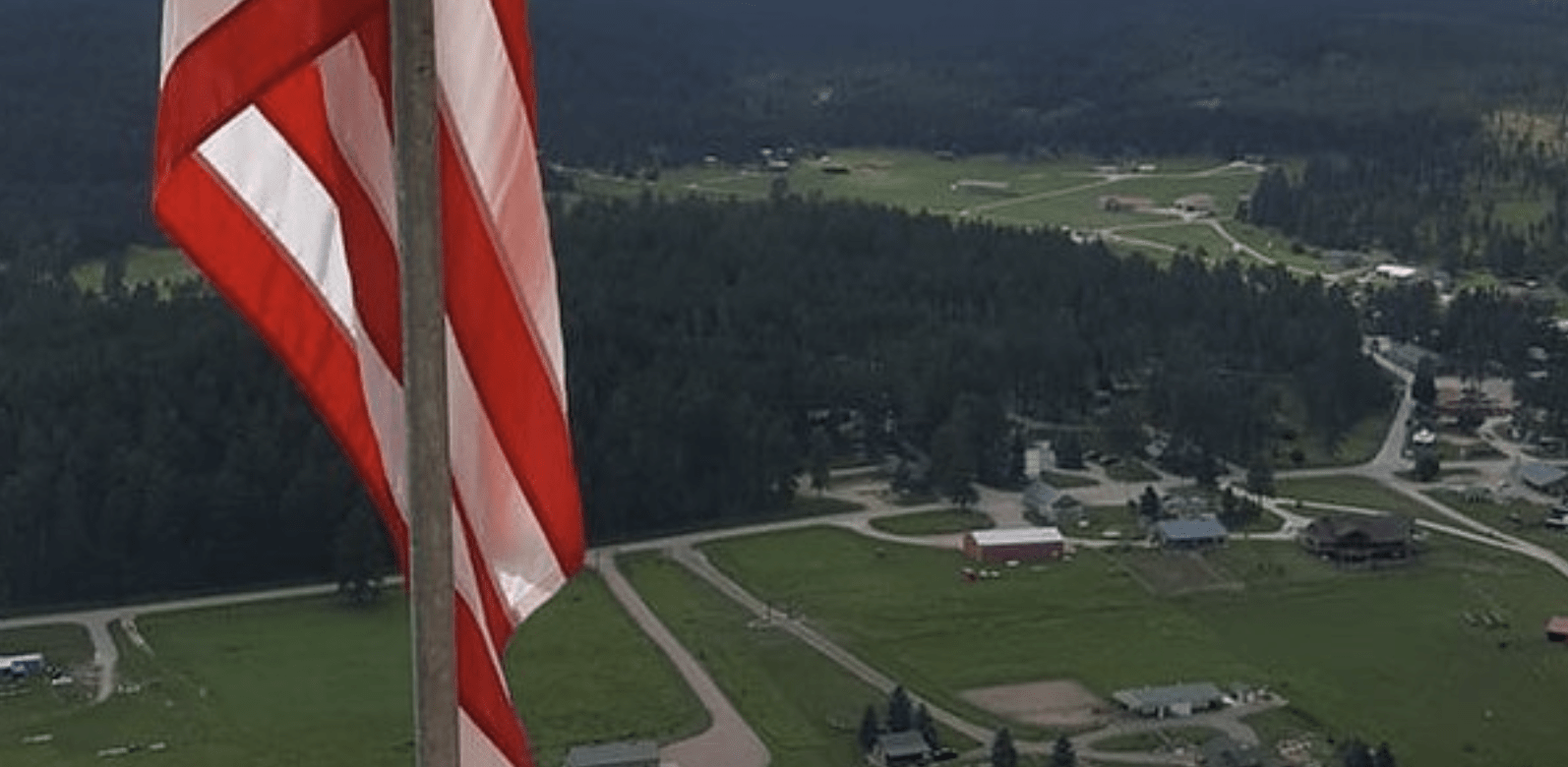
The destination is an overlook that was used by onlookers and the press during the historic manned balloon launches. Watch for the “peace sign” marked on the valley floor. There is also a concrete display for information. This is the best way to see this historical sight, because the valley and therefore the balloon launch location is now actually on private land.
Degrees Minutes Seconds:
Latitude: N 43 58 10
Longitude: W 103 20 18
Decimal Degrees:
Latitude: N 43.969685
Longitude: W -103.3384752
GPS:
Latitude: N 43 58.181
Longitude: W 103 20.309
UTM:
13N 633280 4869848
Trailhead:
Pine Grove Trailhead
