*DO NOT USE THESE MAPS AS YOUR “OFFICIAL” TRAVEL MAP USE AVENZA MAP.

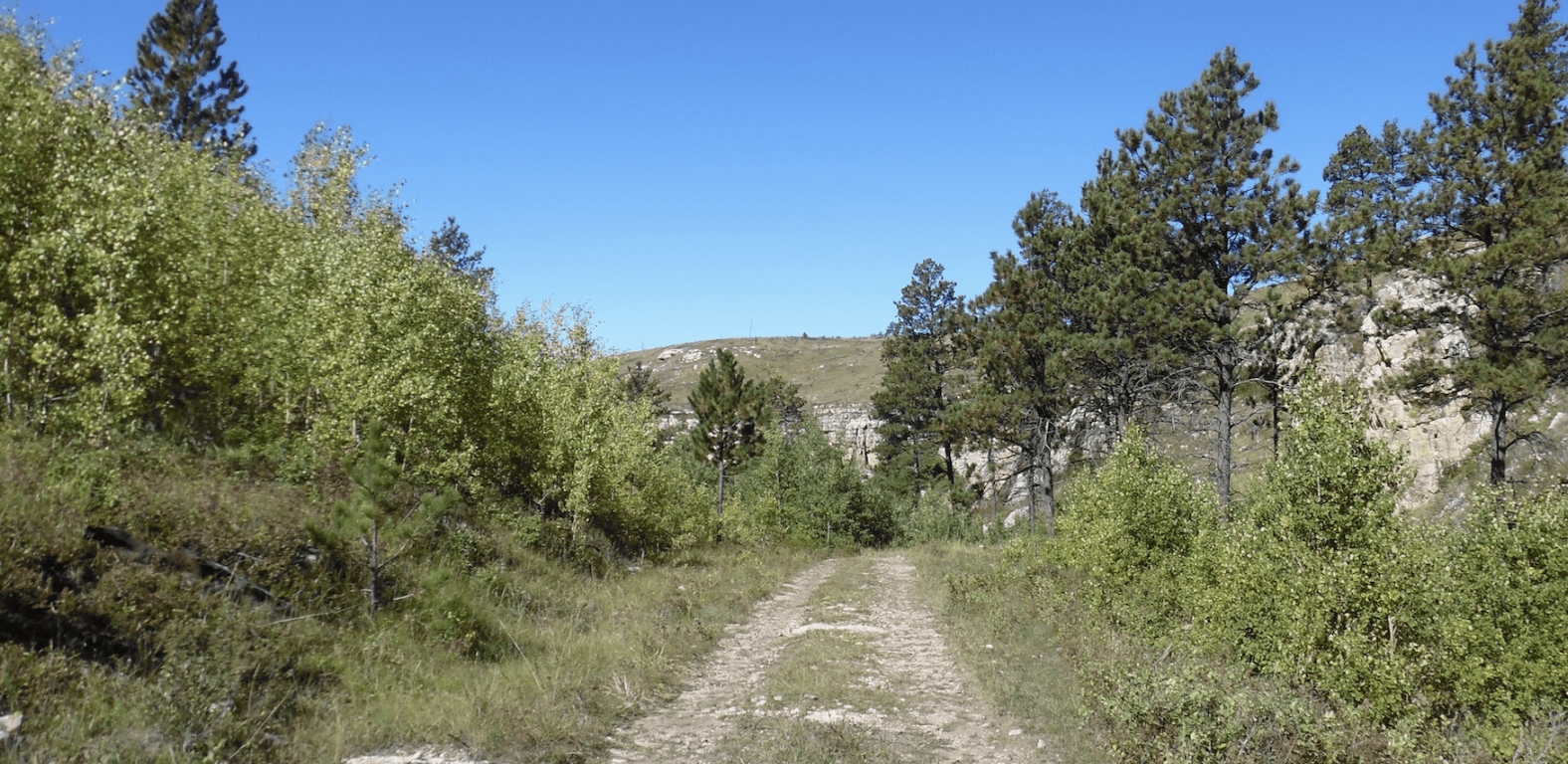
The Black Hills National Forest calls them forest service roads, but some riders call them 82′ non-width restricted trails. Many of these forest service roads are trail-like!
These are the trails the wider machines can legally use. Some of these trails are open year-round. These are the trails that often take you into the mystery and history of the Black Hills.
There are over 3,000 miles of these forest service road, 82″ non-width restricted trail-like trails. These trails are numbered on the MVUM, with three digit numbers like 201 or 201 2A.
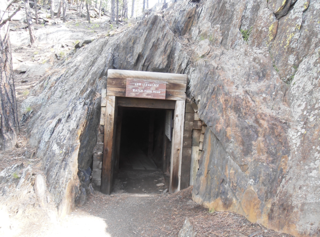
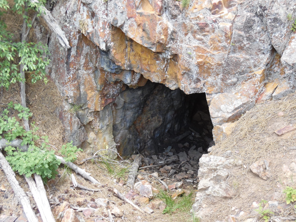
A bunch of older 82″ trails. Get access to lakes, historic mines and flowing creeks.
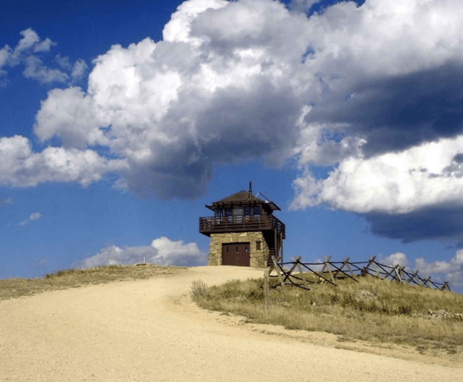
A unique feature that is the highlight of the ride is the overlook at Sandstone Ridge. Other overlook are the Victoria Creek Overlook and Victoria Overlook.
To explore the Black Hills National Forest or ride the Mickelson Trail, Deadwood Outdoor Rentals is your perfect destination.
A Ghost Town site in this area is Bear Gulch II Ghost Town, now a campground.
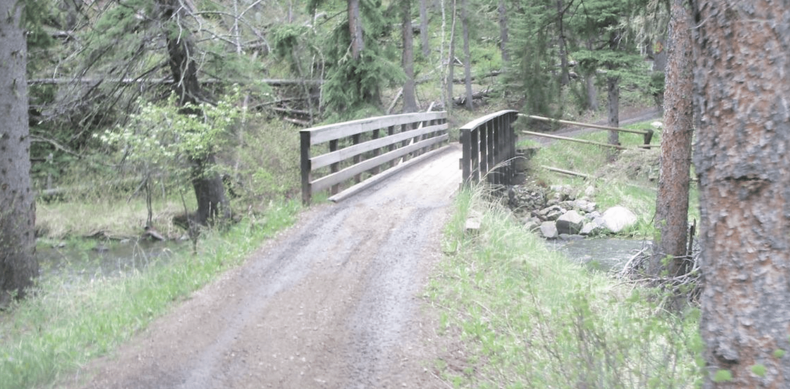
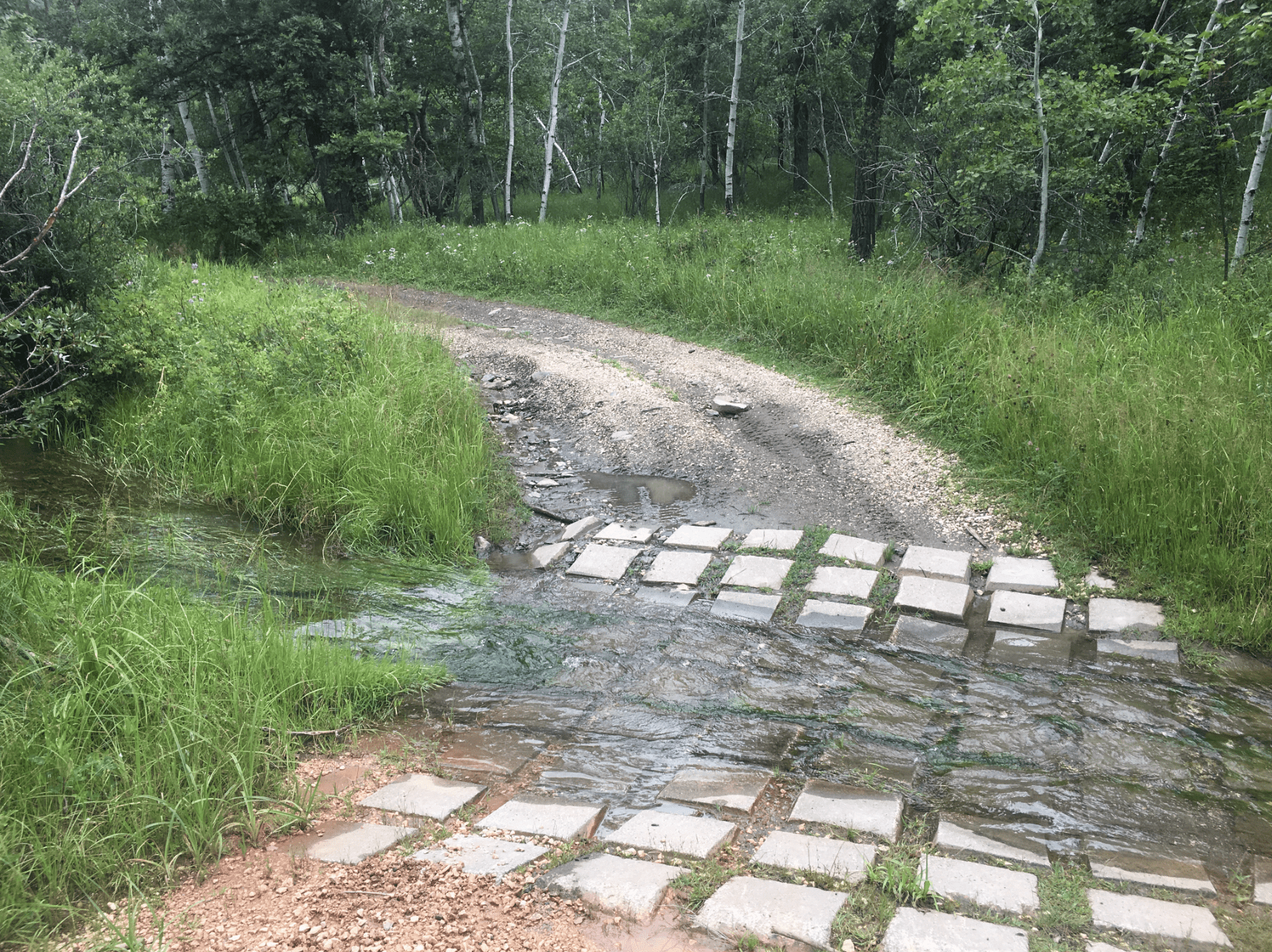
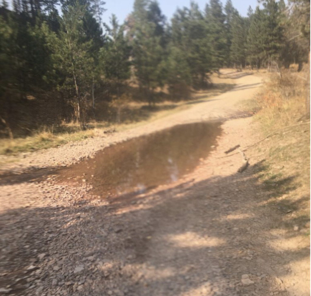
Their are numerous MANAGED WATER CROSSINGS in this area to watch for including: the Rapid Creek Bridge Water Crossing, South Victoria Creek Water Crossing, Victoria Creek Water Crossing, and Victoria Lake Road Water Crossing.
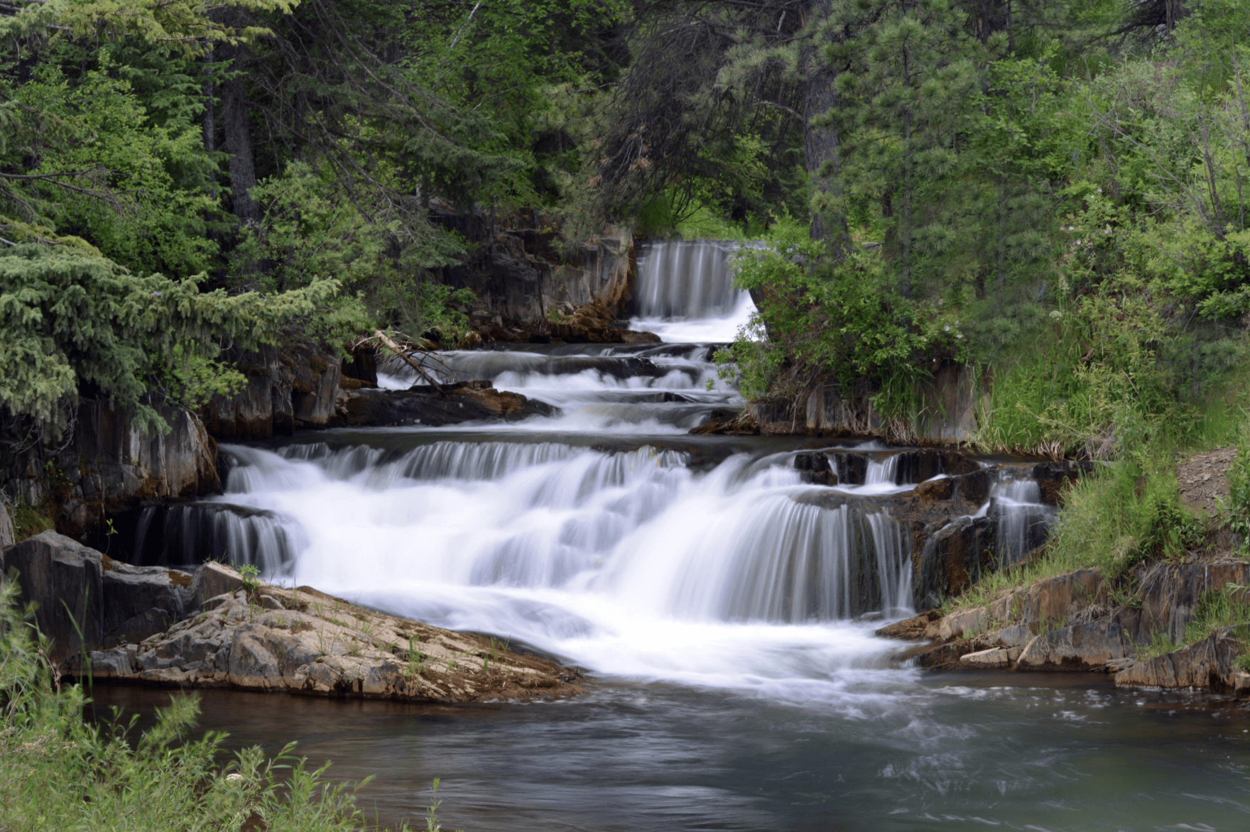
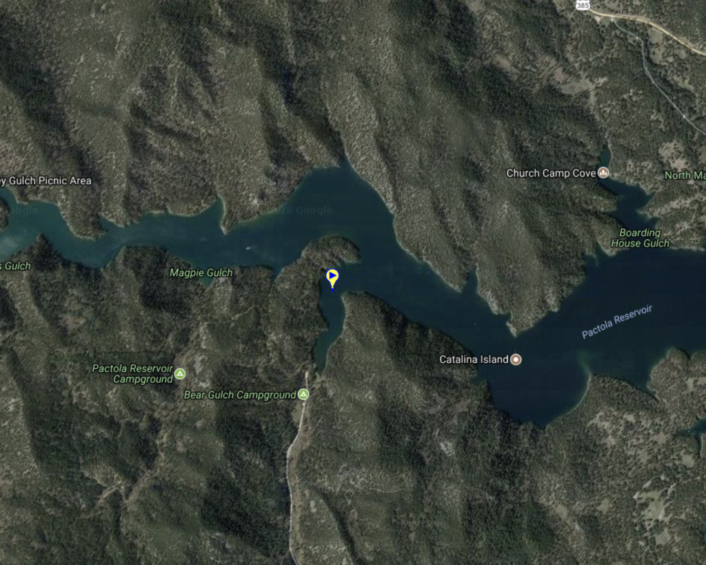
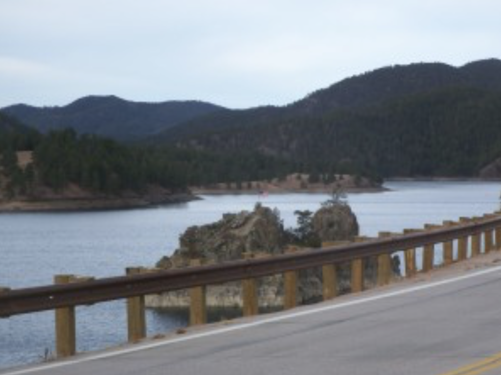
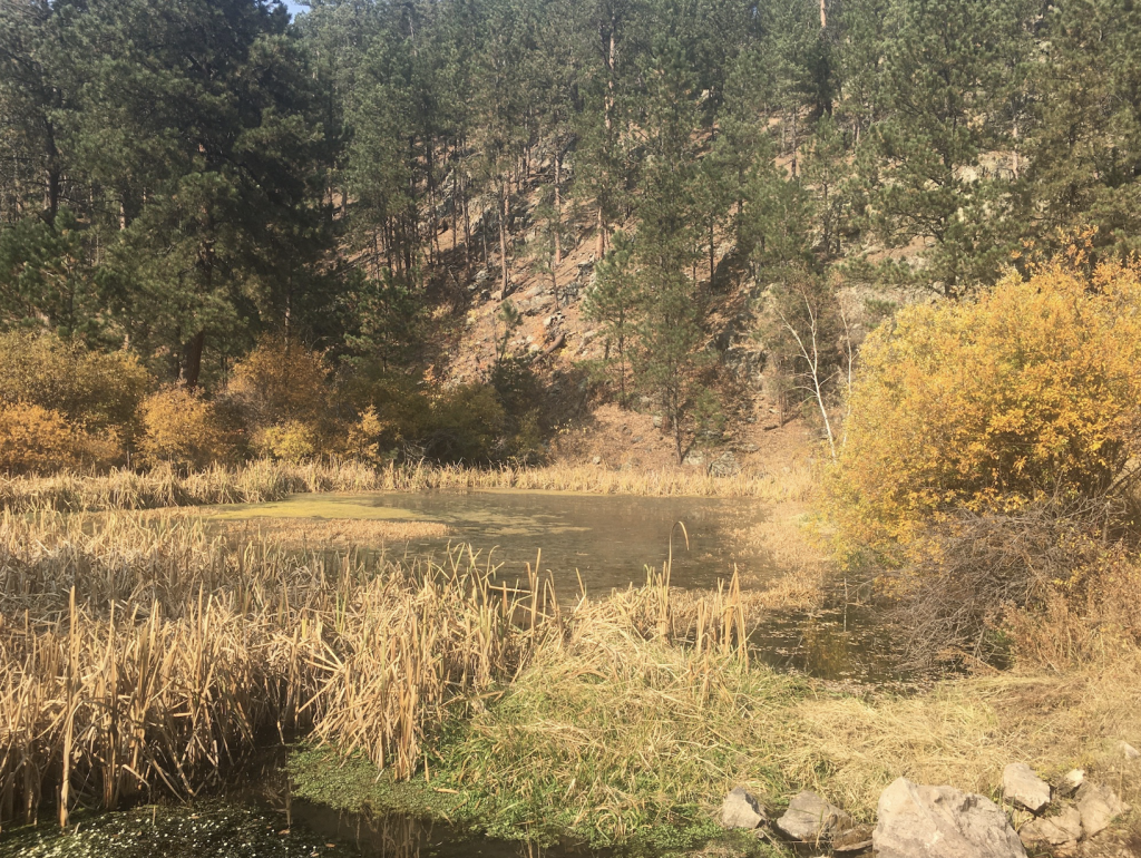
Water features in the area include: Brush Creek, Pactola Lake, Prairie Creek, Prairie Creek Pond, Spring Creek Flume Falls, Victoria Creek, Victoria Lake and Rapid Creek.
Numerous Water Crossings to watch for include: the Rapid Creek Bridge Water Crossing, South Victoria Creek Water Crossing, Victoria Creek Water Crossing, Victoria Lake Road Water Crossing and Trail 6715 South Victoria Creek Water Crossing.
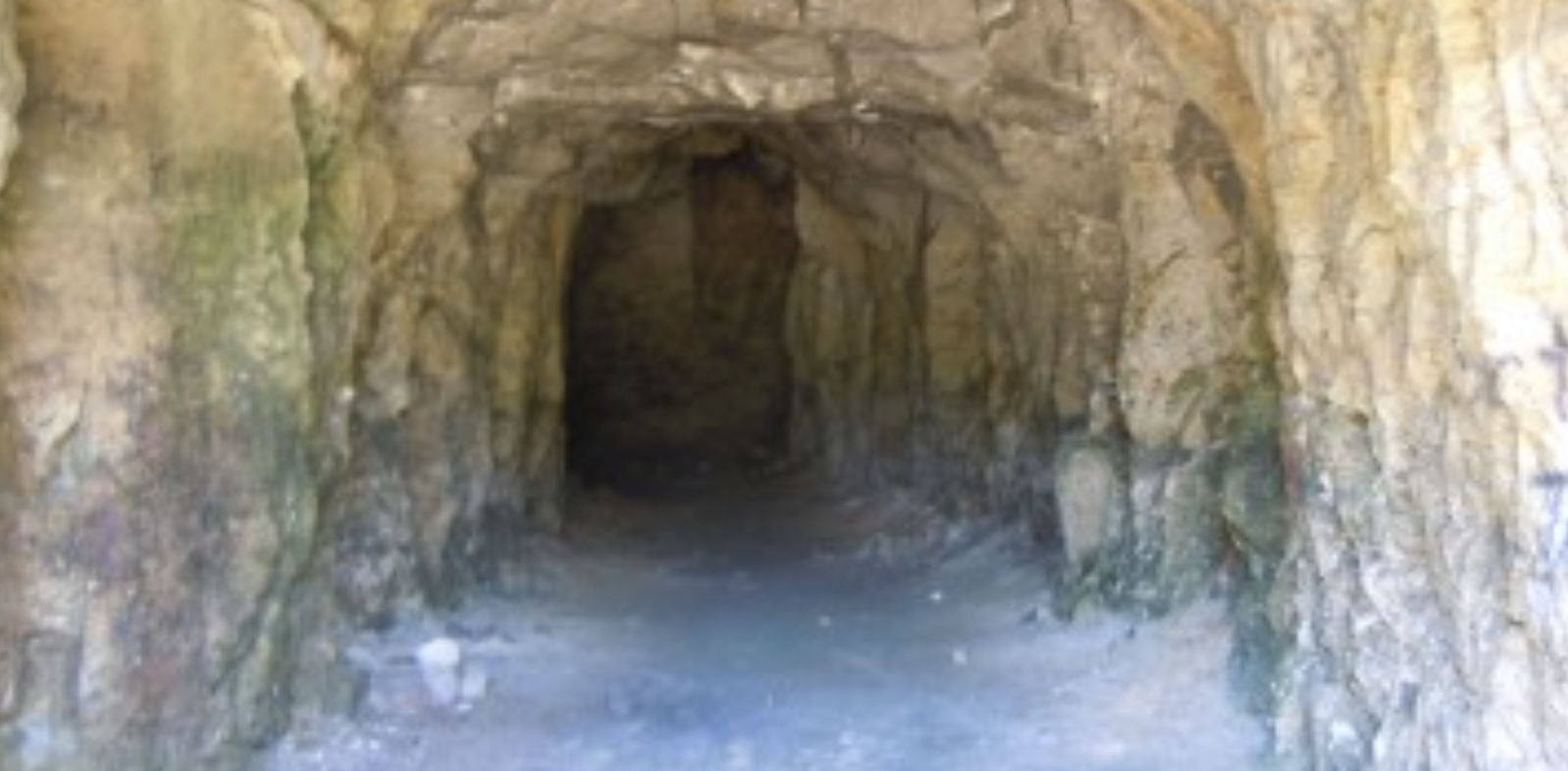
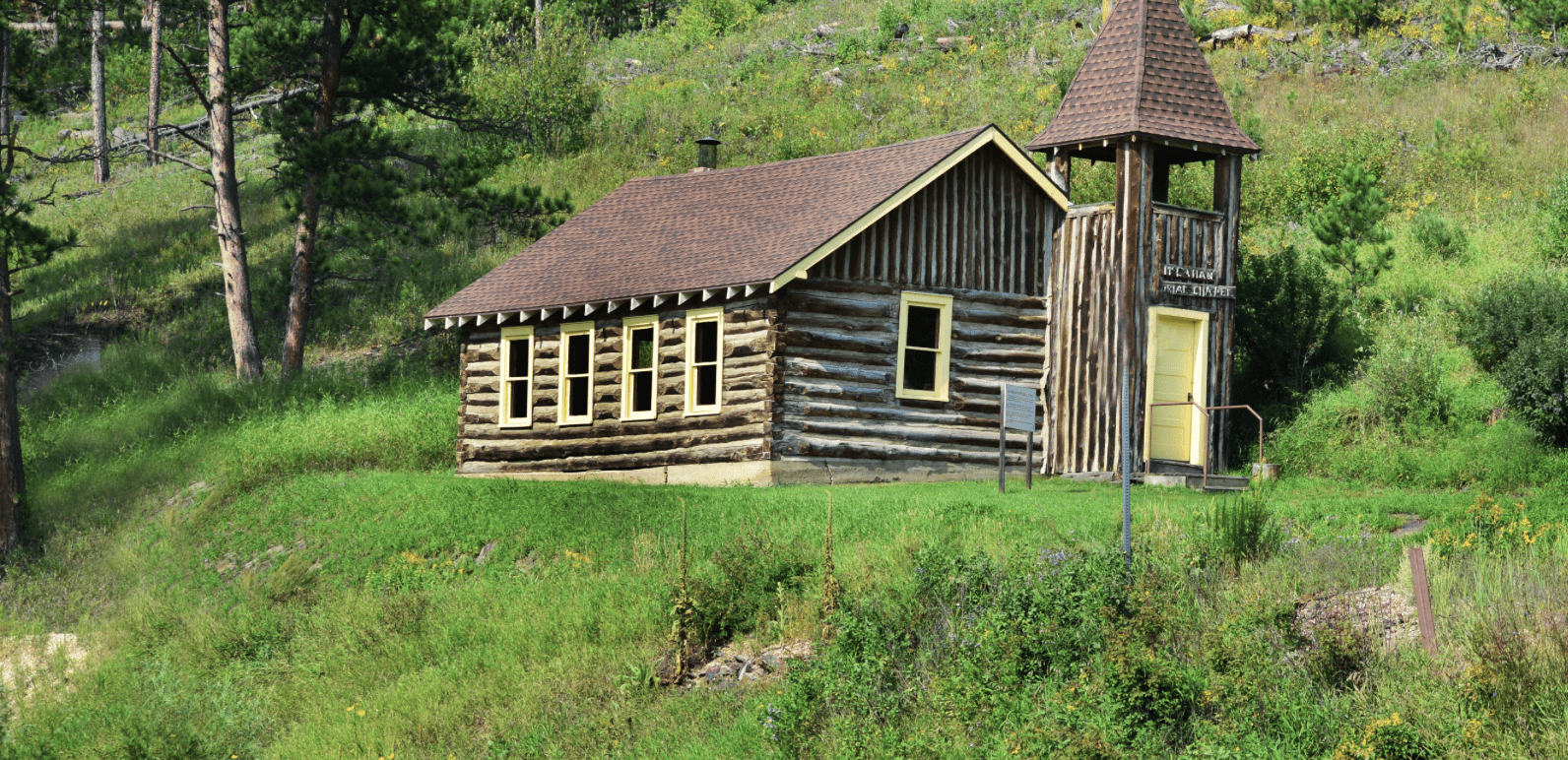
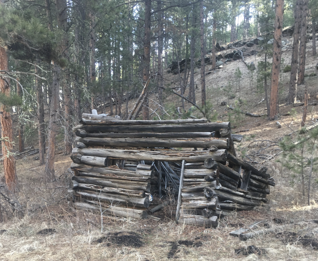
Old buildings and structures on this ride include; Dexter Cabin, and Flume Long Tunnel.
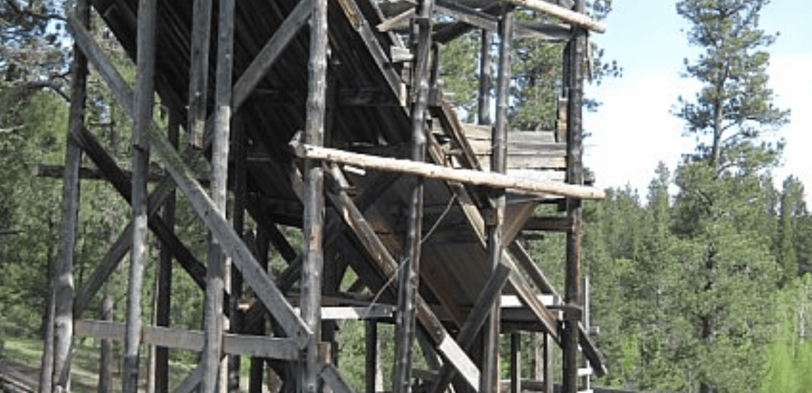
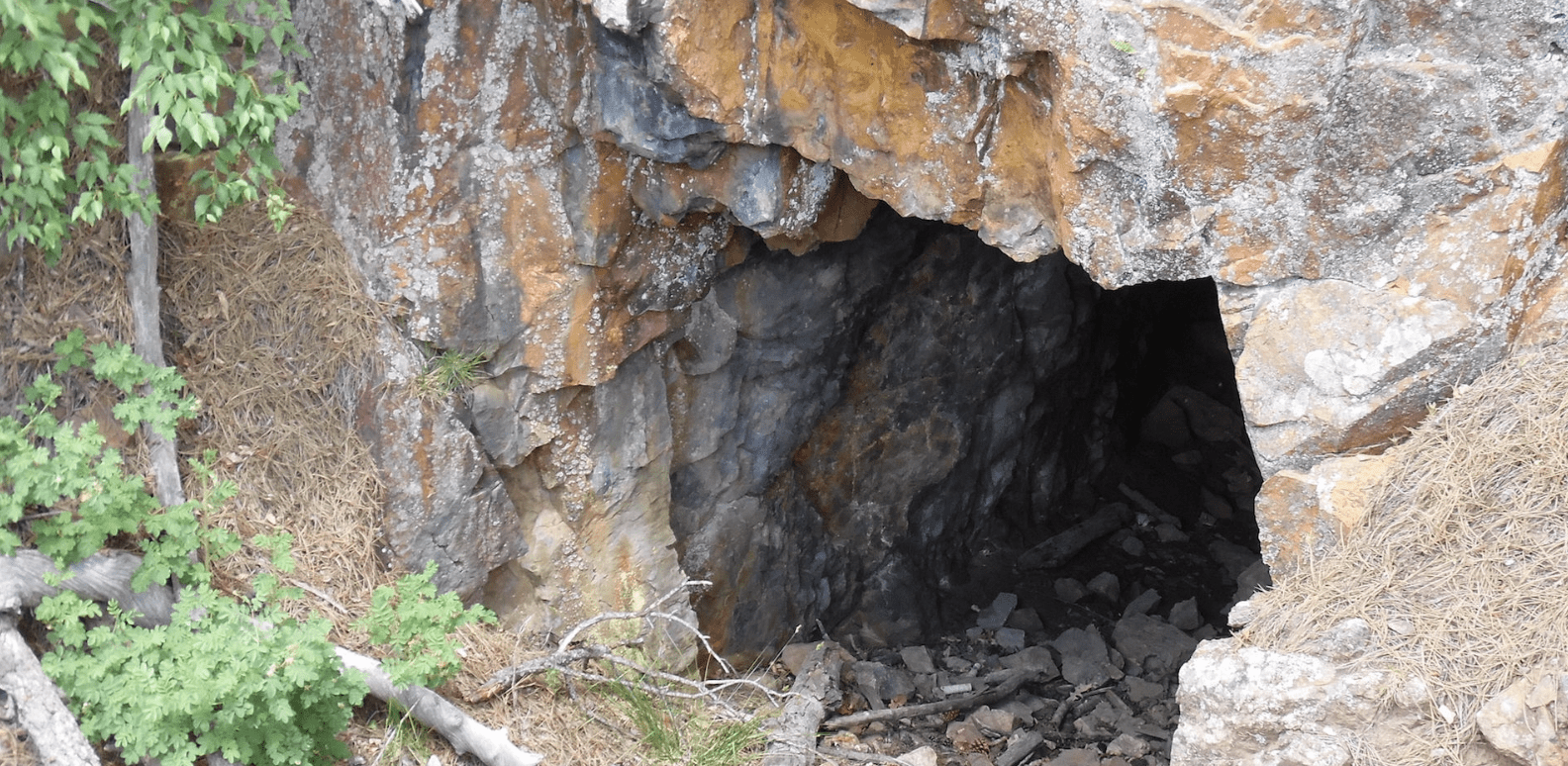
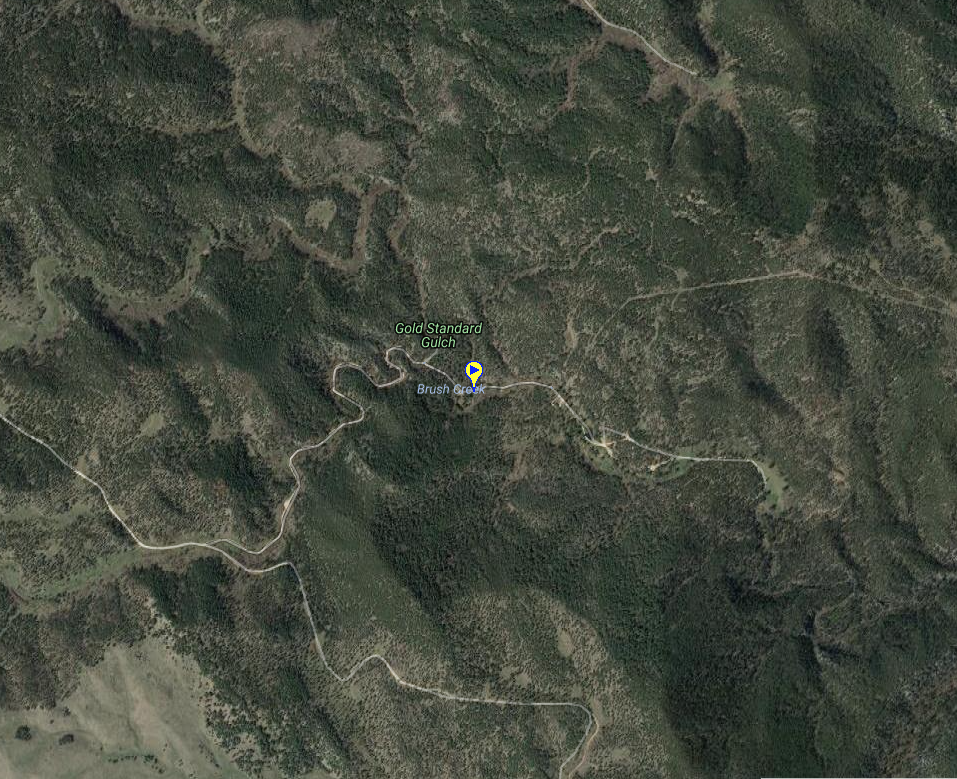
Evidence of mining like the Dexter Gold Mine, and the KDS Mine.
This is an area ripe with hiking opportunities. If you are willing to go off-ATV check out, Flume Trail Loop A Hiking Trail, Rapid Creek Hiking Trail & Trailhead, and Tamarack Gulch Hiking Trail & Trailhead.
There are width restrictive 62″ trails in this area.
Connecting rides include: Battle Creek Ride, Palmer Gulch Ride and Pilot Knob Ride.
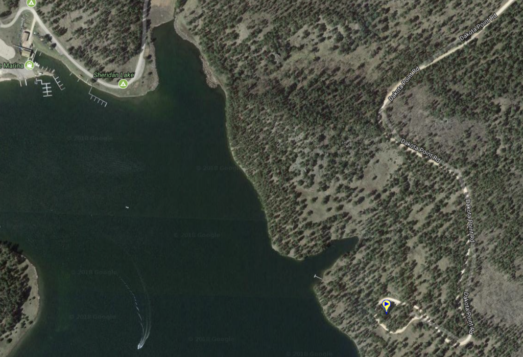
Parking is located along Sheridan Lake Road.
*Website is for information purposes only – ride or drive at your own risk.
Places to Visit:
FLUME TRAIL LOOP A HIKING TRAIL

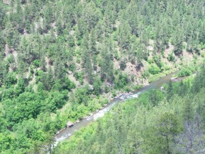
RAPID CREEK BRIDGE WATER CROSSING
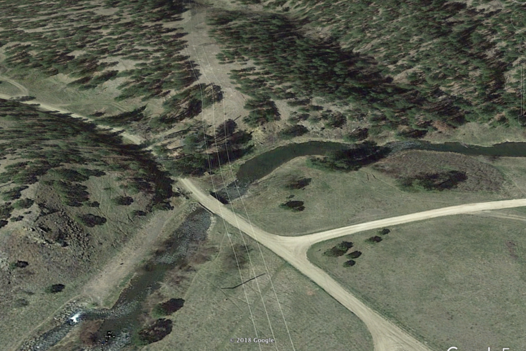
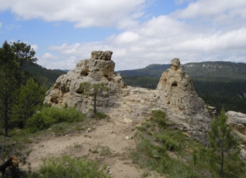
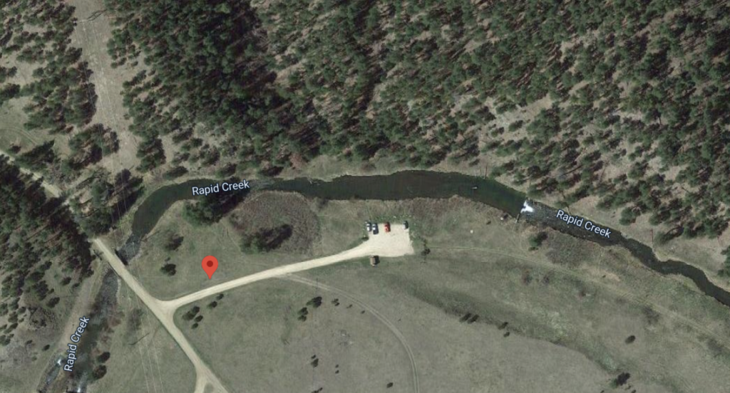
SOUTH VICTORIA CREEK WATER CROSSING

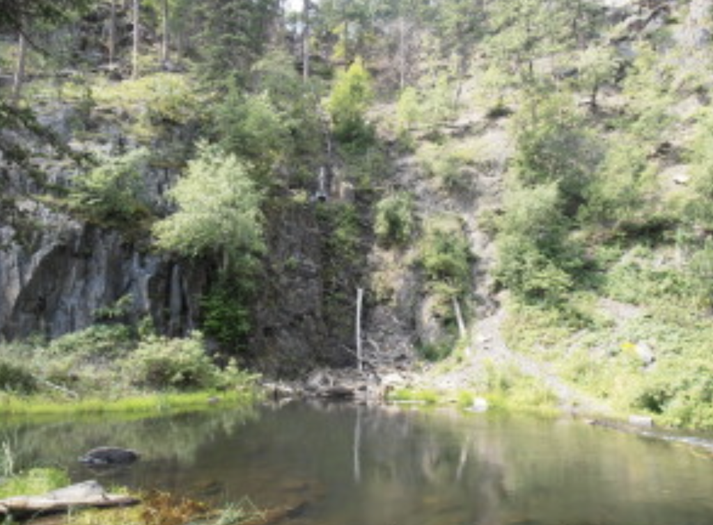
TAMARACK GULCH HIKING TRAILHEAD

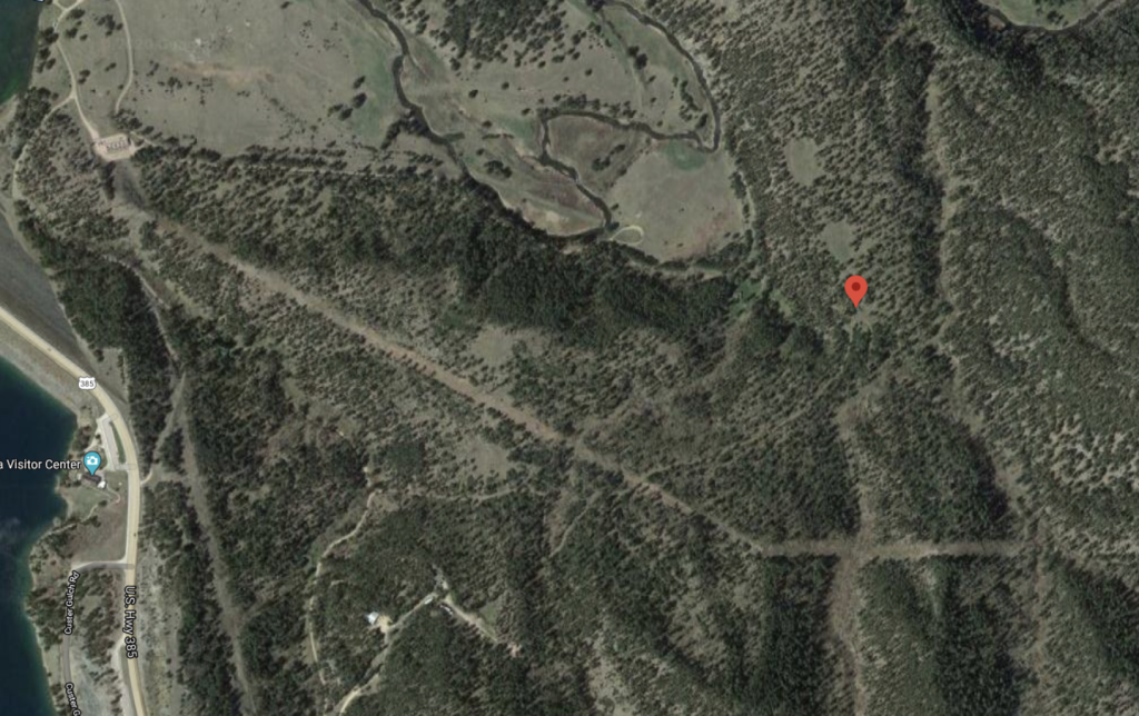
TRAIL 6715 SOUTH VICTORIA CREEK WATER CROSSING
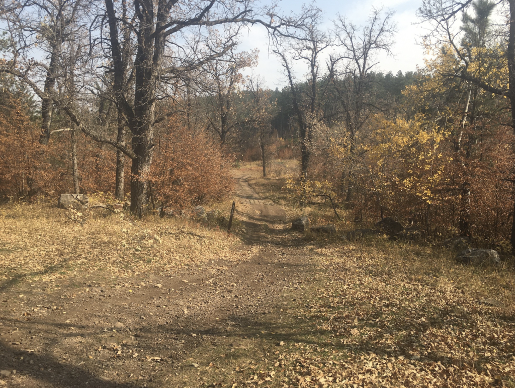

VICTORIA LAKE ROAD WATER CROSSING

*Ride at your own risk
Other Places to Visit:
Trailhead
Connecting Favorite Drives:

Trailhead Parking Map: 44.0057,-103.3519

