*DO NOT USE THESE MAPS AS YOUR “OFFICIAL” TRAVEL MAP USE AVENZA MAP.
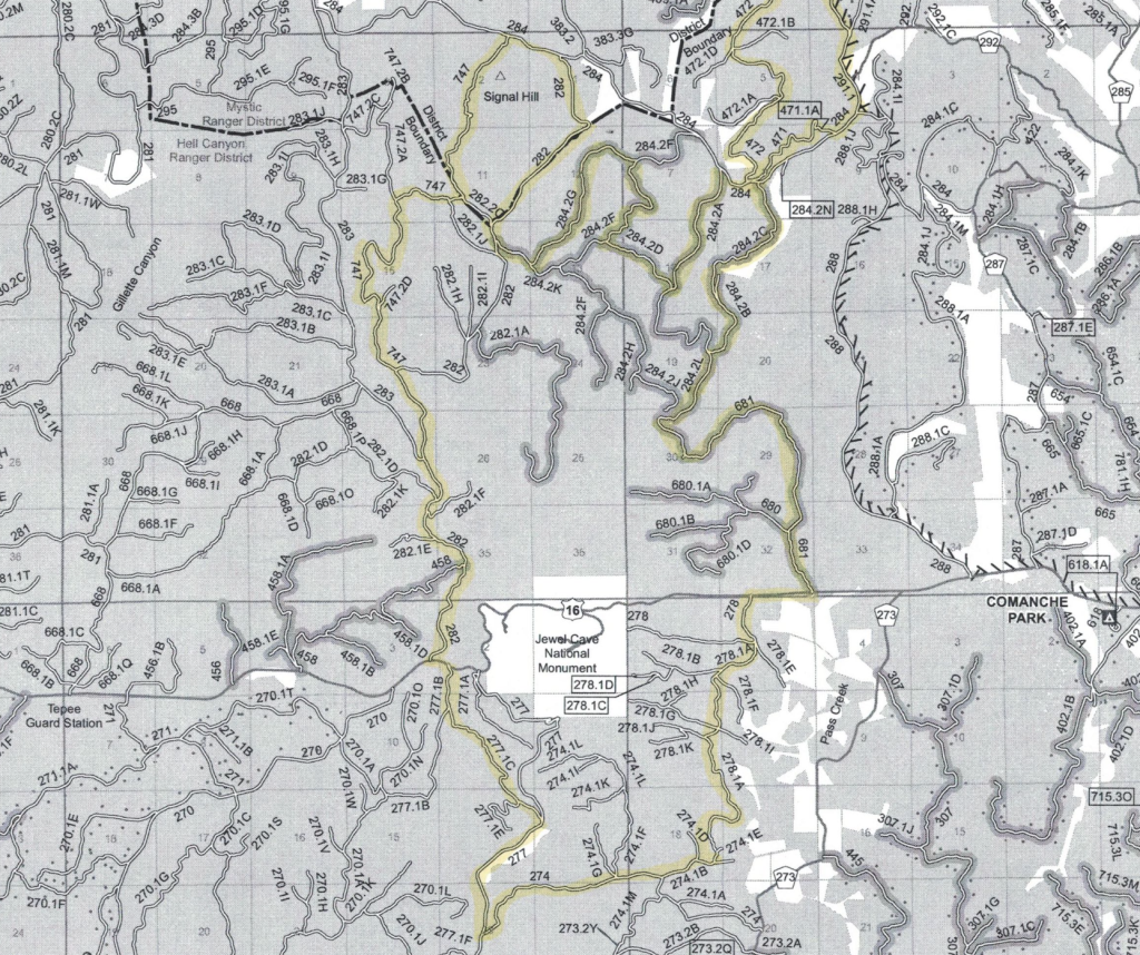
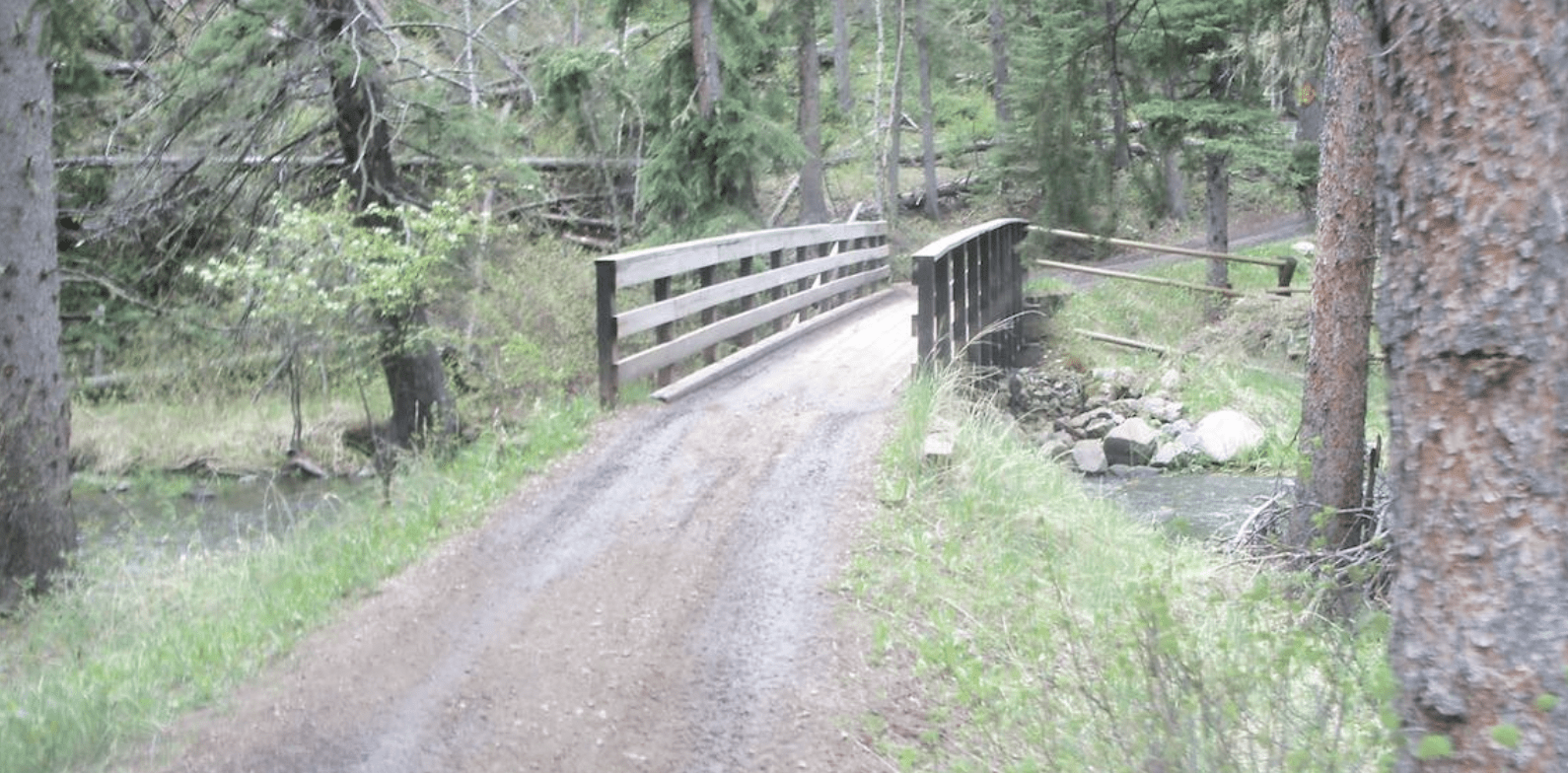
The Black Hills National Forest calls them forest service roads, but some riders call them 82′ non-width restricted trails. Many of these forest service roads are trail-like!
These are the trails the wider machines can legally use. Some of these trails are open year-round. These are the trails that often take you into the mystery and history of the Black Hills.
There are over 3,000 miles of these forest service road, 82″ non-width restricted trail-like trails. These trails are numbered on the MVUM, with three digit numbers like 201 or 201 2A.
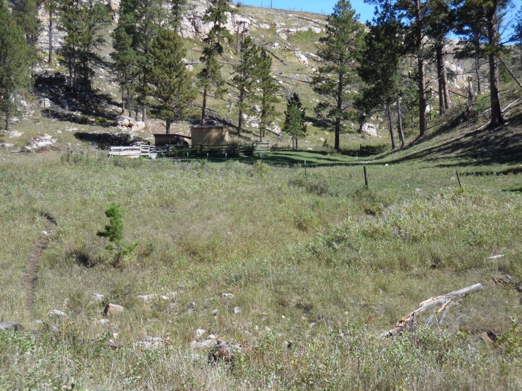
The Hell Canyon area trails are unique in that they travel “legally” through draws and gullies. It could be that this area get so little rain that even the areas that anywhere else would be considered pristine can be traveled.
To explore the Black Hills National Forest or ride the Mickelson Trail, Deadwood Outdoor Rentals is your perfect destination.
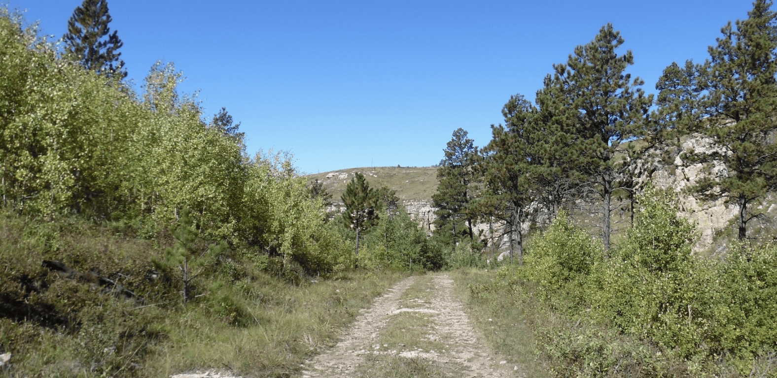
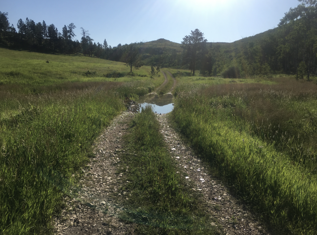
Limestone outcrops tower to the side and above you. Grass covered trails are common. This is a place best visited on a cooler day.
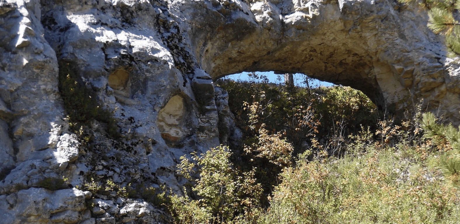
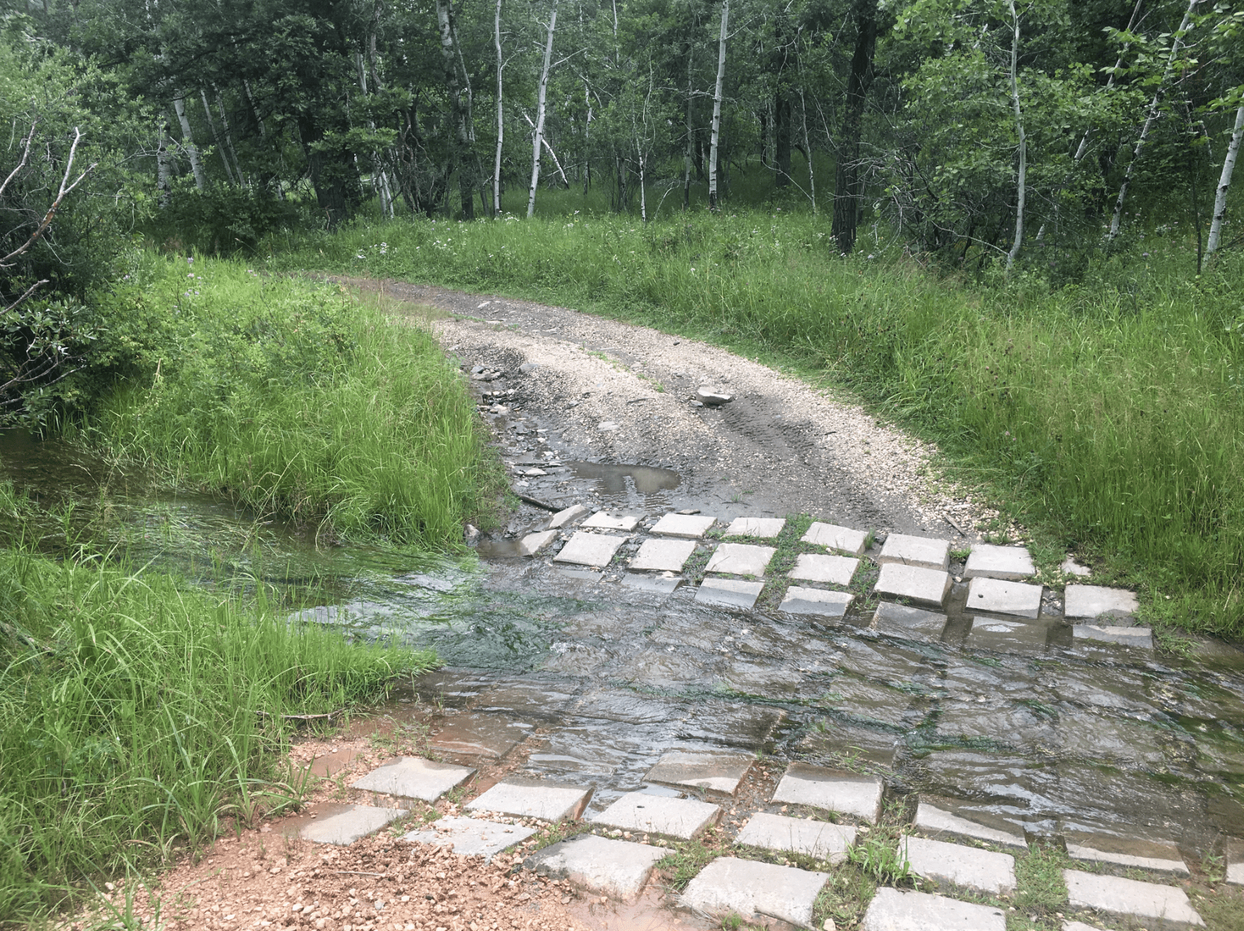
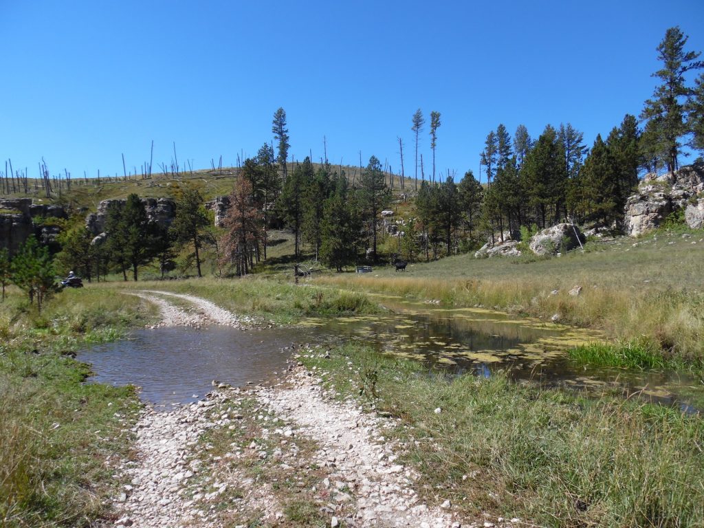
One somewhat hidden benefit of limestone outcrops are the “arches.” There are also some nice water crossings.
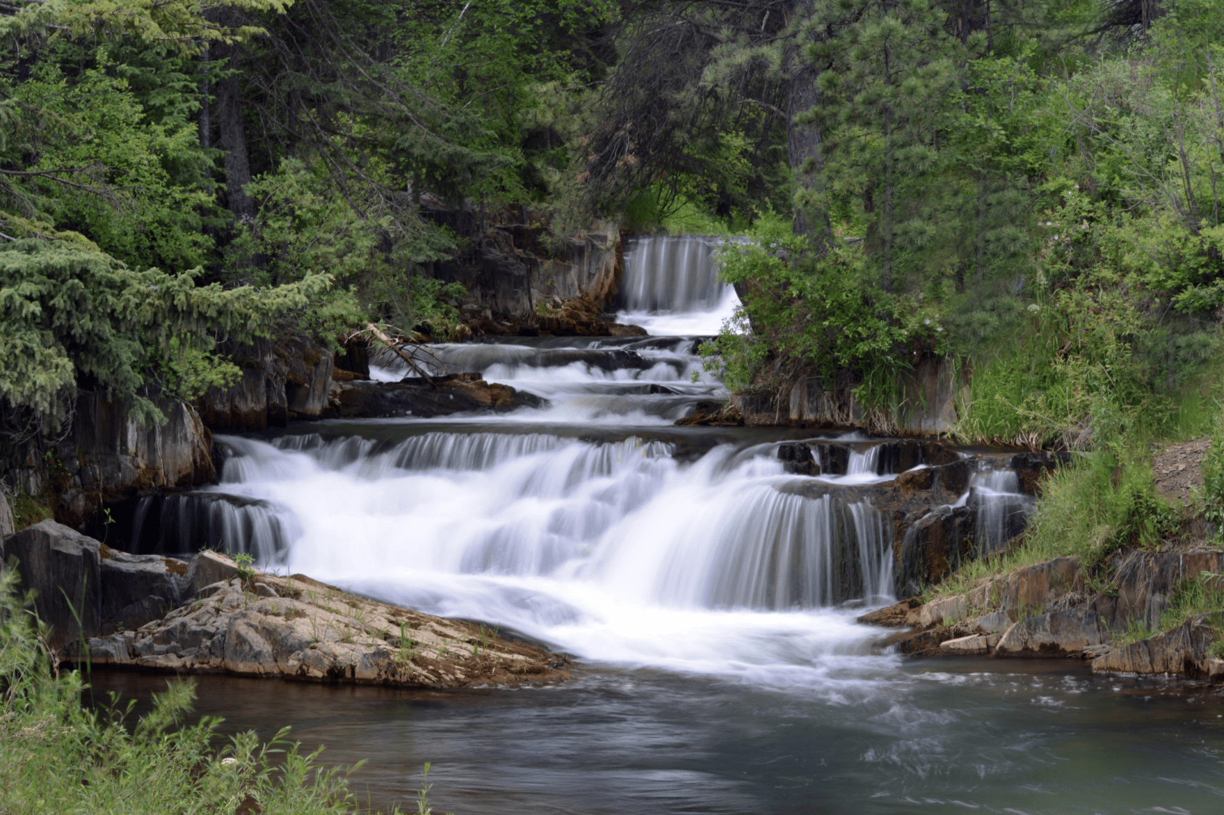
Water features here include Alkali Creek, Alkali Diversion Well, and Bear Spring.
There are no width restrictive trails on the Jewel Ride.
Connecting rides include: Four Corners Ride, Jasper Ride, Richardson Ride, and the Summit Ridge Ride.
Parking for the Jewel Ride is location along Highway 16 or at Hawkright Trailhead.
*Website is for information purposes only – ride or drive at your own risk.
Places to Visit:


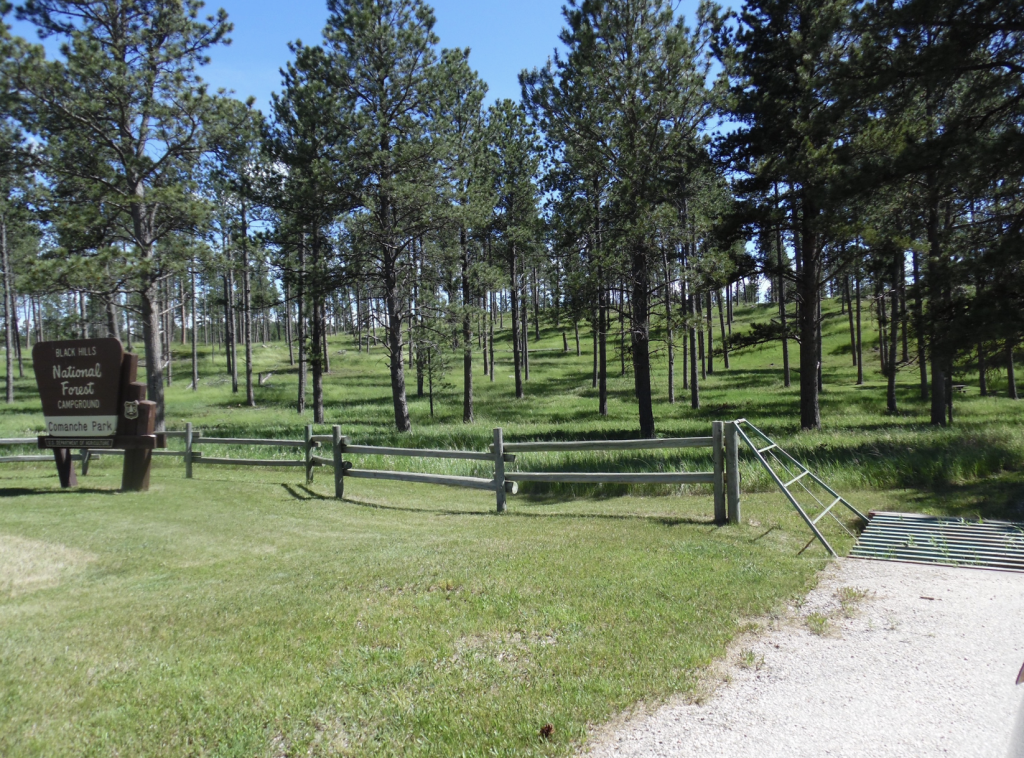
COMANCHE PARK NATIONAL FOREST CAMPGROUND
*Drive at your own risk
Other Places to Visit:
Trailhead:
Connecting Favorite Drives:
Map for Parking: 43.728,-103.8605

